What is recorded here
No entrance remains visible on the ring, which is either an oversight or a deliberate exclusion. People may have entered through a gap now hidden by soil, or the circle may have belonged to someone who did not want witnesses. The fort is not complete enough to display or proud enough to explain. It is a boundary drawn around a room no longer furnished, waiting for a person stubborn enough to sit inside it and ask what the walls remember.
Not marked on the 1841 edition of the OS 6-inch map. A circular area (diam. c. 28.4m) defined by a scarp (H c. 1.4m) and external fosse (Wth c. 2.5m) at N. No evidence of original entrance.
The above description is derived from the published 'Archaeological Inventory of County Laois' (Dublin Stationery Office, 1995) compiled by P. David Sweetman, Olive Alcock and Bernie Moran. In certain instances the entries have been revised and updated in the light of recent research.
Date of upload: 17 December 2007
The monument record does not grant public access. Check the route and ask the landowner before entering private land.
- What survives
- Recorded monument
Places near here
 IndicatedEnclosure · 1508 yd
 Roundwood Housecountry house · 1.2 mi
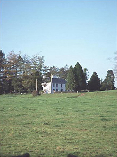 Larch Hill Househouse · 1.5 mi
 MoatFairy fort / earthen ringfort · 1.7 mi
 Sweet ChestnutSweet Chestnut · 2.7 mi
 OutlinedCastle, Anglo-Norman masonry castle · 2.8 mi
 Site of CastleCastle, unclassified · 2.9 mi
 SycamoreSycamore · 4.7 mi
 ArderinMountain / peak · 5.4 mi
 Slieve Bloom MountainsMountain range · 6.3 mi
 Carroll's HillMountain / peak · 6.8 mi
 Welcom to GlenreganVisitor information · 7.2 mi