What is recorded here
Garryrickin holds a broken ring of earth where two stone chambers once stood before destruction. The bank still rises beside a deep fosse, framing a wide plain that invites curiosity rather than certainty. What was lost underneath remains visible only in the shape of the ground itself.
On level ground which falls gently from E-S-W and rises to the N. There are extensive views over a broad plain to the E and W. Within a large triangular pasture field called 'Bawnacrusha'. Carrigan (1905, vol. 4, 318) describes the monument as, 'a partially dismantled rath, within which were discovered two stone-roofed apartments now destroyed', though he mistakenly assigns them to the adjacent Butlerswood townland. The ringfort is under grass and otherwise relatively clear of vegetation.
A circular raised area (int. diam. 33m) defined by a bank (Wth 5m; ext. H 1.5m), except from N-E where it is degraded, and an external fosse (Wth 7m; D. 0.8m). There is a possible ramped entrance (Wth c. 3.5m) at the SSW. In the W quadrant there is a linear E-W depression (L 11m; Wth 5m; D c. 1m), indicating the collapsed Man-made underground passage (KK030-009002-), which according to Carrigan (ibid.) had two chambers.
Compiled by: Jean Farrelly
Date of upload: 25 July 2023
This remains an important historical record, but the official description says the monument is no longer visible or has been destroyed. The monument record does not grant public access. Check the route and ask the landowner before entering private land.
- What survives
- No visible remains or recorded as destroyed
Places near here
 Butlerswood RingfortArchaeological place · 1156 yd
 Bawn in GarryrickinBawn · 1199 yd
 Springmount Househouse · 1220 yd
 James (Jim) McKennaMemorial · 1315 yd
 KillameryVisitor information · 1391 yd
 IndicatedCastle, motte · 1443 yd
 Killamery High CrossVisitor information · 1524 yd
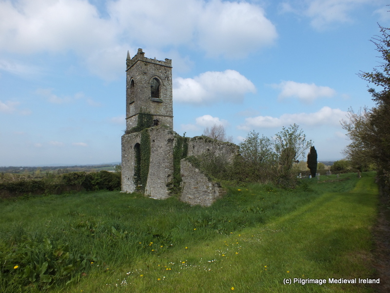 Church (in ruins)Church · 1532 yd
 Grave YardGraveyard · 1537 yd
 The SpoutMemorial · 2.3 mi
 HawthornHawthorn · 2.4 mi
 Collins PaddockForest · 3.8 mi