What is recorded here
No amount of gold, jewels or treasure could buy back the fort. Men and women worked the land around it for generations. They built homes, grew food and raised children beside the old earthworks. The fort watched over the valley through rain, drought and war. When the men and women died, the fort remained. It is still there, holding the shape of every life that passed beside it.
Marked on the 1842 and 1897 OS maps as a circular enclosure, on the later edition it is cut in two unequal parts by a fieldbank running NW-SE. No surface trace remains today.
The above description is derived from C. Toal, ‘North Kerry Archaeological Survey’. Dingle. Brandon in association with FAS Training and Employment Authority (1995), no. 682. In certain instances the entries have been revised and updated in the light of recent research.
Date of upload: 2 August 2013
The monument record does not grant public access. Check the route and ask the landowner before entering private land.
- What survives
- Recorded monument
Places near here
 Faha FortArchaeological place · 1013 yd
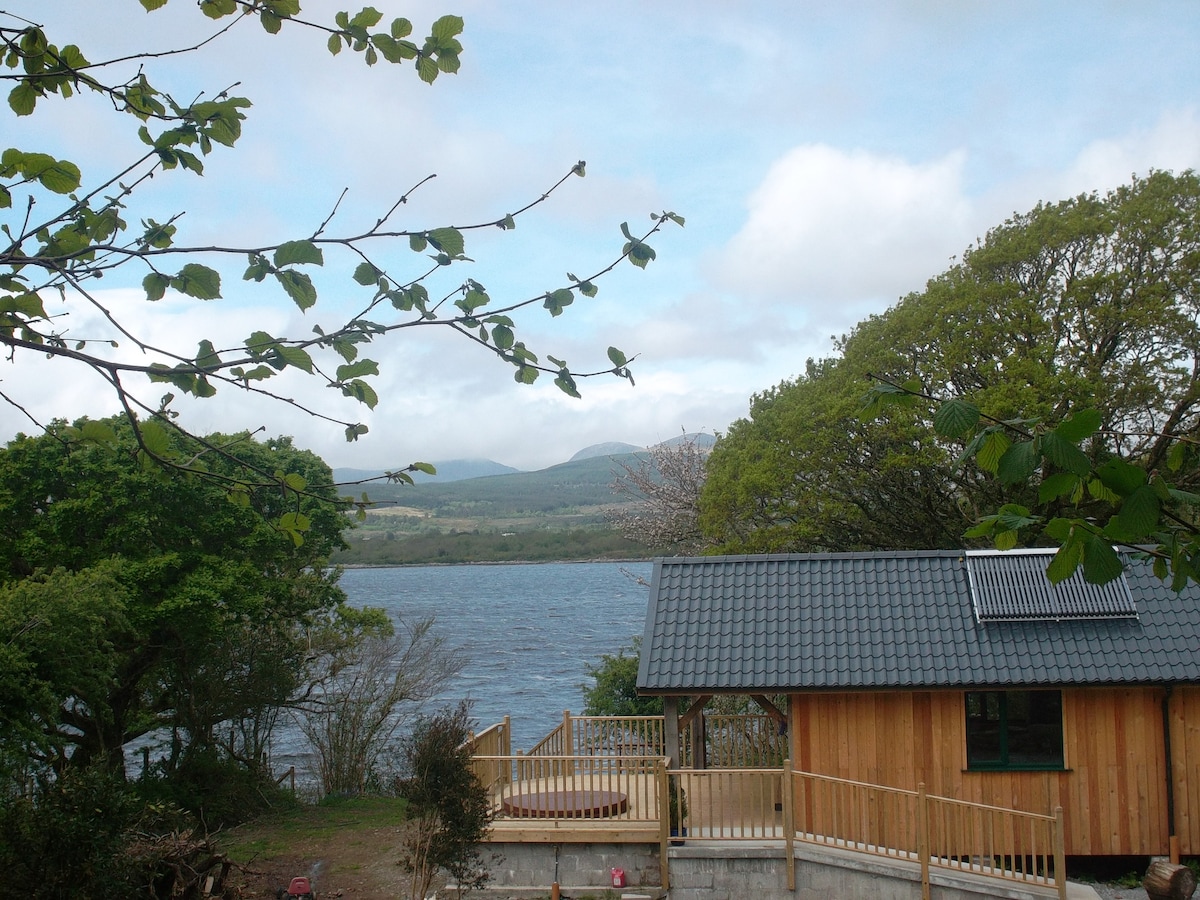 Enclosure in Banna EastEnclosure · 1236 yd
 Catholic Church of the Sacred Heartchurch/chapel · 1252 yd
 CastleCastle, unclassified · 1730 yd
 Our Lady's Holy WellSpring · 2.3 mi
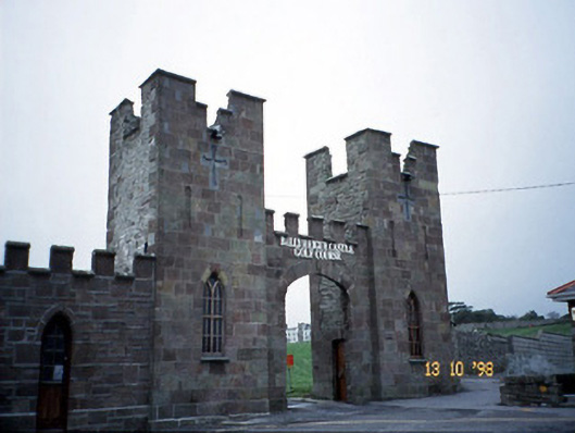 Ballyheige Castlegate lodge · 2.5 mi
 Ardfert FriaryVisitor information · 2.7 mi
 Ardfert Franciscan FriaryVisitor information · 2.7 mi
 Ardfert CathedralHeritage attraction · 2.7 mi
 15th Centenary of the birth of St-BredanMemorial · 2.7 mi
 Statue of Roger CasementMemorial · 2.8 mi
 Castle (in ruins)Castle, unclassified · 3.0 mi