What is recorded here
Half of a ringfort still stands in Garrynagoul, a forty-metre circle cut by a road. The northern bank rises a metre and a half, while the southern edge has been taken into a garden. What remains is a bruised line on the hill, half buried under grass, memory and the wheels of passing cars.
In pasture, on level patch of ground, on crest of hill. Depicted as hachured subcircular enclosure (diam. c. 45m) on 1842 OS 6-inch map, bisected E-W by roadway; N half survives as hachured arc indicating raised area on 1905 and 1935 OS 6-inch maps. Circular raised area (diam. c. 40m) defined by scarp (H 1.4m to N; H 0.9m to S) bisected off-centre to S by E-W roadway. To N of road, scarp appears to have loose debris dumped on its surface and is partially overgrown with gorse and ferns; interior level, surface cut up by machinery; modern entrance to W. To S of road, enclosure forms part of garden and was once planted with trees, now cut down. Low bank (ext. H 0.7m) curving slightly, skirts enclosure to S; may be a landscape feature.
The above description is derived from the published 'Archaeological Inventory of County Cork. Volume 4: North Cork' (Dublin: Stationery Office, 2000). In certain instances the entries have been revised and updated in the light of recent research.
Date of upload/revision: 14 January 2009
The monument record does not grant public access. Check the route and ask the landowner before entering private land.
- What survives
- Recorded monument
Places near here
 IndicatedKiln, lime · 738 yd
 Mocollop Castle (in ruins)Castle, Anglo-Norman masonry castle · 1215 yd
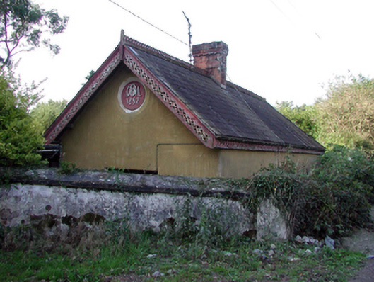 Mocollop Castlegate lodge · 1430 yd
 Mocollop Picnic SitePicnic place · 1.0 mi
 Ecclesiastical enclosure in Kilcoran SouthEcclesiastical enclosure · 1.1 mi
 Fulacht fia in CoolbaunFulacht fia · 1.2 mi
 Sheanmore Castle (in ruins)Castle, tower house · 1.7 mi
 Saint Micheal's Holy WellSpring · 2.6 mi
 Graveyard in Curraheen (kinnatalloon By.)Graveyard · 3.1 mi
 Castlebrook forestWood · 3.2 mi
 KnocknaloughMountain / peak · 3.3 mi
 Natural heritage of CoolagowanVisitor information · 3.6 mi