What is recorded here
Two concentric ditches vanished beneath Fossa pasture, detectable only in a 1949 aerial photograph rather than under a person's boots. That invisibility fits a fairy fort, where human measurement stops and imagination takes over. The ditches may have marked a boundary between the visible world and the hidden life beneath the lake.
In pasture, on a steep S-facing slope, on the N shoreline of Lough Leane. The cropmark of two concentric fosses N-E, visible in an aerial photograph (ACAP, V 164/42-3) taken in 1949, may be the remains of a rath. These fosses are not visible at ground level. This is probably one of the two raths (see KE066-089----) recorded in the 1840s in the S side of the townland (OSNB, Aghadoe, no. 1, 21).
Compiled by: Elizabeth Byrne, Ursula Egan and Sheila Ronan, Archaeological Survey Unit, University College, Cork.
Date of upload: 31 January 2011
The monument record does not grant public access. Check the route and ask the landowner before entering private land.
- What survives
- Recorded monument
Places near here
 Catholic Church of Christ Prince of Peacechurch/chapel · 393 yd
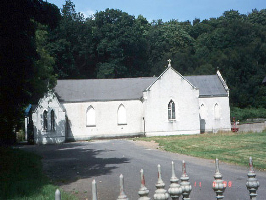 Saint Lelia's Catholic Churchchurch/chapel · 555 yd
 Fulacht FianFulacht fia · 741 yd
 Enclosure in Dromin (magunihy By., Lahard Ed)Enclosure · 1013 yd
 Rabbit or Brown IslandIslet · 1.3 mi
 Parkavonear CastleCastle · 1.4 mi
 Aghadoe Early Medieval Ecclesiastical SiteHeritage attraction · 1.4 mi
 Lamb IslandIsland · 1.8 mi
 European YewEuropean Yew · 1.9 mi
 Castle (in Ruins)Castle, tower house · 1.9 mi
 English hollyEnglish holly · 1.9 mi
 O'Sullivan's CascadeWaterfall · 2.0 mi