What is recorded here
Fairy fort in Finniterstown: earthen ringfort, 19 by 23 metres, divided by a straight avenue to a disused farmyard. The avenue has gate piers and a dry-stone wall; the surrounding bank is half a metre high and stone-faced where it joins field boundaries. Rubble has been dumped inside to the west, but pasture still covers the eastern part. The shape suggests a lived place rather than a fairy tale, even if local story calls it a fairy fort.
In pasture, on gentle E-facing slope. Roughly circular area (19m N-S; 23m E-W) divided, W-of-centre, by straight N-S avenue (Wth c. 3m) leading to disused farmyard to N. Avenue defined on W side by dry-stone wall; where avenue cuts enclosing element to N is pair of gate piers. Site is enclosed by earthen bank (H c. 0.5m), stone-faced externally NW->SE where it act as field boundary. Bank abutted by field boundaries at SE, SW and WSW. Interior of enclosure to W of avenue is covered by recent dumping of rubble etc. Area to E of avenue under pasture and rises gently up towards enclosing bank.
Compiled by: Denis Power
Date of upload: 26 August 2011
The monument record does not grant public access. Check the route and ask the landowner before entering private land.
- What survives
- Recorded monument
Places near here
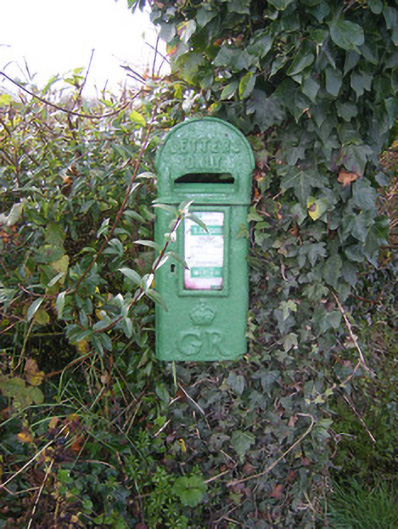 post boxpost box · 309 yd
 Bawn in FinniterstownBawn · 743 yd
 Fulacht fia in FinniterstownFulacht fia · 893 yd
 Fulacht fia in Commons (connello Upper By.)Fulacht fia · 1245 yd
 Flat cemetery in Kiltenan SouthFlat cemetery · 1379 yd
 Kiln in Kiltenan SouthKiln · 1705 yd
 Bawn in DunnamanBawn · 1.5 mi
 Kinnoor WellSpring · 1.8 mi
 GinkgoGinkgo · 2.8 mi
 European YewEuropean Yew · 2.9 mi
 Dysert AenghusaHeritage attraction · 3.0 mi
 Famine stoneMemorial · 3.5 mi