What is recorded here
Fairy forts are not places where people should sleep, because the small people emerge at midnight to dance and drag unwilling humans into their circles. The field at Finniterstown contained one such ring, now vanished beneath plough and forgetting, leaving only a collapsed stone wall to mark where the boundary once stood. Perhaps the wall separated the human world from the dancing ground, or perhaps it marked the last place someone refused to enter. Either way, the emptiness in the pasture is not nothing; it is a warning shaped like absence.
In pasture, on gentle W-facing slope. Monument, depicted as embanked circular enclosure (diam. c. 30m) on 1841 OS 6-inch map, has been levelled. No trace of monument evident when inspected. Dry-stone field wall, shown on 1841 OS 6-inch map bisecting enclosure on NW-SE axis, survives though in a somewhat collapsed condition.
Compiled by: Denis Power
Date of upload: 26 August 2011
The monument record does not grant public access. Check the route and ask the landowner before entering private land.
- What survives
- Recorded monument
Places near here
 Church (in Ruins)Church · 684 yd
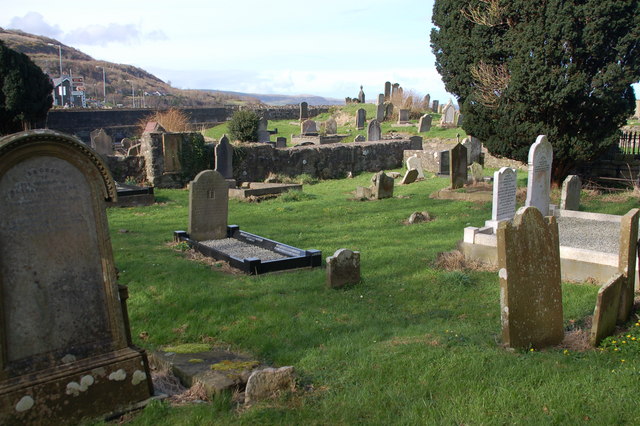 Grave YardGraveyard · 695 yd
 Bawn in FinniterstownBawn · 1293 yd
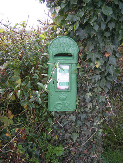 post boxpost box · 1488 yd
 Fulacht fia in FinniterstownFulacht fia · 1.2 mi
 Bawn in DunnamanBawn · 1.3 mi
 Flat cemetery in Kiltenan SouthFlat cemetery · 1.3 mi
 GinkgoGinkgo · 2.1 mi
 Adare Tourist OfficeVisitor information · 2.1 mi
 European YewEuropean Yew · 2.1 mi
 Kinnoor WellSpring · 2.2 mi
 Dysert AenghusaHeritage attraction · 2.8 mi