What is recorded here
Fairy fort in Finniterstown, County Limerick, is a shallow D-shaped ring, twenty-three by twenty-four metres, whose scarped edge runs east-north-east to north-west while a dry-stone wall closes the north. The 1841 map drew a complete thirty-metre circle, but the northern earth has vanished, leaving only a broken line across pasture where cattle still push through the eastern gap. Briars and nettles choke the interior, and the missing half may have been eaten by fields, forgotten by people, or taken back by the ground itself.
Atop low rise, in gently undulating pasture. D-shaped area (23m N-S; 24m E-W) defined by scarped edge (H 0.3m; Wth 6m) ENE->NW, and enclosed on N side by dry-stone field wall travelling E-W. No trace of scarped edge or raised area on N side of field wall though 1841 OS 6-inch map shows enclosure as complete circle (diam. c. 30m). Field boundary shown abutting scarped edge to SW on 1923 OS 6-inch map has been removed. Scarp overlain by earthen bank (H c. 0.5m) ENE->SW; this probably remains of field boundary. Break in scarp at E (Wth c. 7m) used by cattle accessing interior. Interior and enclosing element are overgrown by briars and nettles.
Compiled by: Denis Power
Date of upload: 26 August 2011
This remains an important historical record, but the official description says the monument is no longer visible or has been destroyed. The monument record does not grant public access. Check the route and ask the landowner before entering private land.
- What survives
- No visible remains or recorded as destroyed
Places near here
 Bawn in FinniterstownBawn · 964 yd
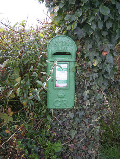 post boxpost box · 1019 yd
 Church (in Ruins)Church · 1021 yd
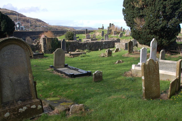 Grave YardGraveyard · 1030 yd
 Fulacht fia in FinniterstownFulacht fia · 1705 yd
 Flat cemetery in Kiltenan SouthFlat cemetery · 1.1 mi
 Bawn in DunnamanBawn · 1.3 mi
 Kinnoor WellSpring · 2.0 mi
 GinkgoGinkgo · 2.3 mi
 European YewEuropean Yew · 2.4 mi
 Dysert AenghusaHeritage attraction · 2.8 mi
 Biodiversity in the Maigue CatchmentVisitor information · 3.9 mi