What is recorded here
Fairy fort in Finniterstown is a broken earthen circle, twenty-two metres across, hidden beneath nettles and forgotten anger. The scarp cuts shallow on one side while the bank rises stubbornly on the other, as if the ground resisted being measured. People may have lived there before humanity stopped remembering how to build without proving anything.
In pasture, atop low rise in gently undulating terrain. Circular area (22m N-S; 23m E-W) defined by scarped edge (H 0.6m; Wth 1.95) NW->SW and enclosed by earthen bank (int. H 0.5m; ext. H 0.7m) SW->NW. Small field (c. 70m N-S; c. 40m E-W) encloses site and area immediately to its N and NW; a dry-stone wall, forming field boundary, skirts enclosure E->W. Dense vegetation overgrowth covers much of field and enclosure. Running at tangent, c. 2m N of scarp, is short run of collapsed dry-stone wall (H c. 0.4m; L c. 8m). Interior, covered by nettles, dips down towards centre.
Compiled by: Denis Power
Date of upload: 26 August 2011
The monument record does not grant public access. Check the route and ask the landowner before entering private land.
- What survives
- Recorded monument
Places near here
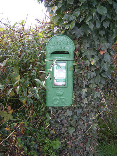 post boxpost box · 430 yd
 Bawn in FinniterstownBawn · 648 yd
 Fulacht fia in FinniterstownFulacht fia · 977 yd
 Furnace in Kiltenan SouthFurnace · 1271 yd
 Flat cemetery in Kiltenan SouthFlat cemetery · 1388 yd
 Kiln in Kiltenan SouthKiln · 1685 yd
 Bawn in DunnamanBawn · 1.5 mi
 Kinnoor WellSpring · 1.9 mi
 GinkgoGinkgo · 2.8 mi
 European YewEuropean Yew · 2.8 mi
 Dysert AenghusaHeritage attraction · 3.0 mi
 Famine stoneMemorial · 3.6 mi