What is recorded here
Farnanes is a shallow earthen ring on a steep east-facing slope in County Cork. It is not a grand castle or a obvious fortress, but a slight ridge preserved because the land around it never became a ploughed field. People may have lived there, marked it, or simply avoided breaking it. The earth keeps its shape while memory thins, which is why an ordinary pasture can still feel like the edge of an older world.
In pasture, on steep E-facing slope. Locally known as "lios"; area never ploughed. Only visible surface trace is slight undulation to W (max. H 0.3m).
The above description is derived from the published 'Archaeological Inventory of County Cork. Volume 1: West Cork' (Dublin: Stationery Office, 1992). In certain instances the entries have been revised and updated in the light of recent research.
Date of upload/revision: 14 January 2009
The monument record does not grant public access. Check the route and ask the landowner before entering private land.
- What survives
- Recorded monument
Places near here
 Fulacht fia in Farnanes (carbery E. (w.d) By.)Fulacht fia · 509 yd
 Man-made underground passage in GoulacullinMan-made underground passage · 835 yd
 schoolschool · 1.3 mi
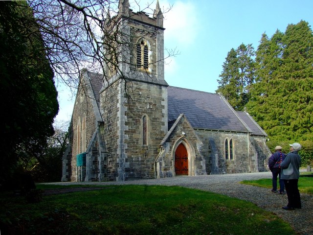 St. Edmund's Church of Ireland Churchchurch/chapel · 1.3 mi
 Nowen HillMountain / peak · 2.2 mi
 Pookeen North TopMountain / peak · 2.2 mi
 Togher CastleCastle, tower house · 2.2 mi
 Funmanway Adventure LandHeritage attraction · 4.1 mi
 Castle (Site of)Castle, Anglo-Norman masonry castle · 4.4 mi
 Gortnahoughtee Mass RockNamed rock · 4.4 mi
 Dunmanway Heritage CentreVisitor information · 4.6 mi
 St Finbarr's Pilgrim RouteWalking route · 4.8 mi