What is recorded here
Mangerton Mountain watches the pasture where a broken earthen bank still circles a hidden hall. People called it a fairy fort because the entrance gap and uneven ridge suggest human hands, yet the shape resists ordinary explanation. The land keeps its own calendar, marking time in moss and pressure rather than dates.
In pasture, on a SW-facing slope with views to Mangerton Mountain. A circular area (36m E-W; 34m N-S) defined by an earthen bank (Wth 6.05m; int. H 0.2m; ext. H 1.05m), partially obscured by overgrowth, and by a fosse (Wth 2m; D 0.65m) NNW-SE. The bank height varies and a depression (L 4m; Wth 2m) is evident on the bank at WNW. There is a break (Wth 3m) in the bank at W. The interior rises gradually from the perimeter to a flat-topped plateau to the S of the centre. The ground slopes away steeply from the rath SW-NW.
Compiled by: Elizabeth Byrne, Ursula Egan and Sheila Ronan, Archaeological Survey Unit, University College, Cork.
Date of upload: 31 January 2011
The monument record does not grant public access. Check the route and ask the landowner before entering private land.
- What survives
- Recorded monument
Places near here
 IndicatedFairy fort / earthen ringfort · 364 yd
 Religious houseReligious house, Franciscan friars · 847 yd
 Fairy fort / earthen ringfort in FaghbaneFairy fort / earthen ringfort · 974 yd
 Sheheree Bog Nature ReserveNature reserve · 994 yd
 Flesk CastleCastle · 1668 yd
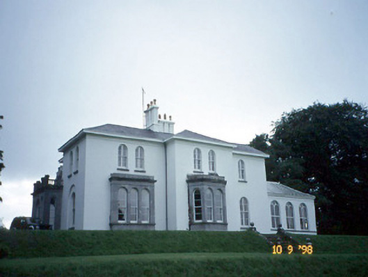 Coolclogher Housecountry house · 1.1 mi
 The Blue PoolGallery · 1.2 mi
 Blue Pool Nature ReserveWood · 1.3 mi
 Lissivigeen Stone CircleHeritage attraction · 1.4 mi
 McCarthy Mor CastleCastle · 1.4 mi
 Mass RockNamed rock · 1.5 mi
 Castlelough BayBay · 1.7 mi