What is recorded here
Mystery and imagination create life. Dreams and beliefs shape what people see. This is the meaning of the claim.
Situated on a low-lying landscape between drumlins. A circular earthwork is marked here on an estate map of Barony of Cremorne by Brownrigg and Longfield (1790) in NLI (21 F. No. 32). No archaeological feature is visible on any aerial images and its precise classification is not known, but it is likely to be a rath.
The above description is derived from the published 'Archaeological Inventory of County Monaghan' (Dublin: Stationery Office, 1986). In certain instances the entries have been revised and updated in the light of recent research.
Revised by: Michael Moore
Date of upload/revision: 17 July 2007
The monument record does not grant public access. Check the route and ask the landowner before entering private land.
- What survives
- Recorded monument
Places near here
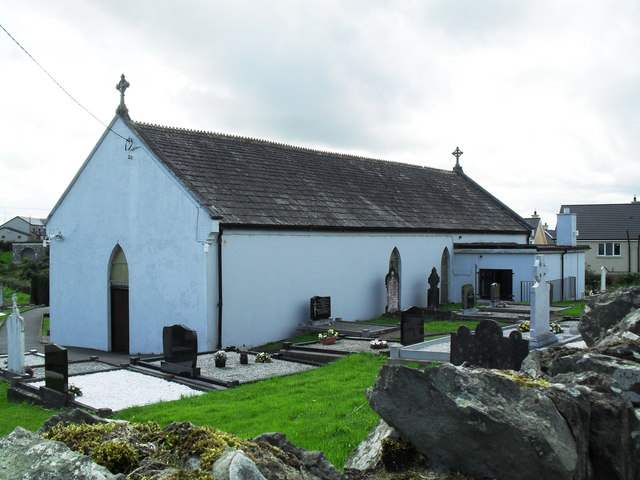 Saint Patrick's Catholic Churchchurch/chapel · 1.1 mi
 schoolschool · 1.1 mi
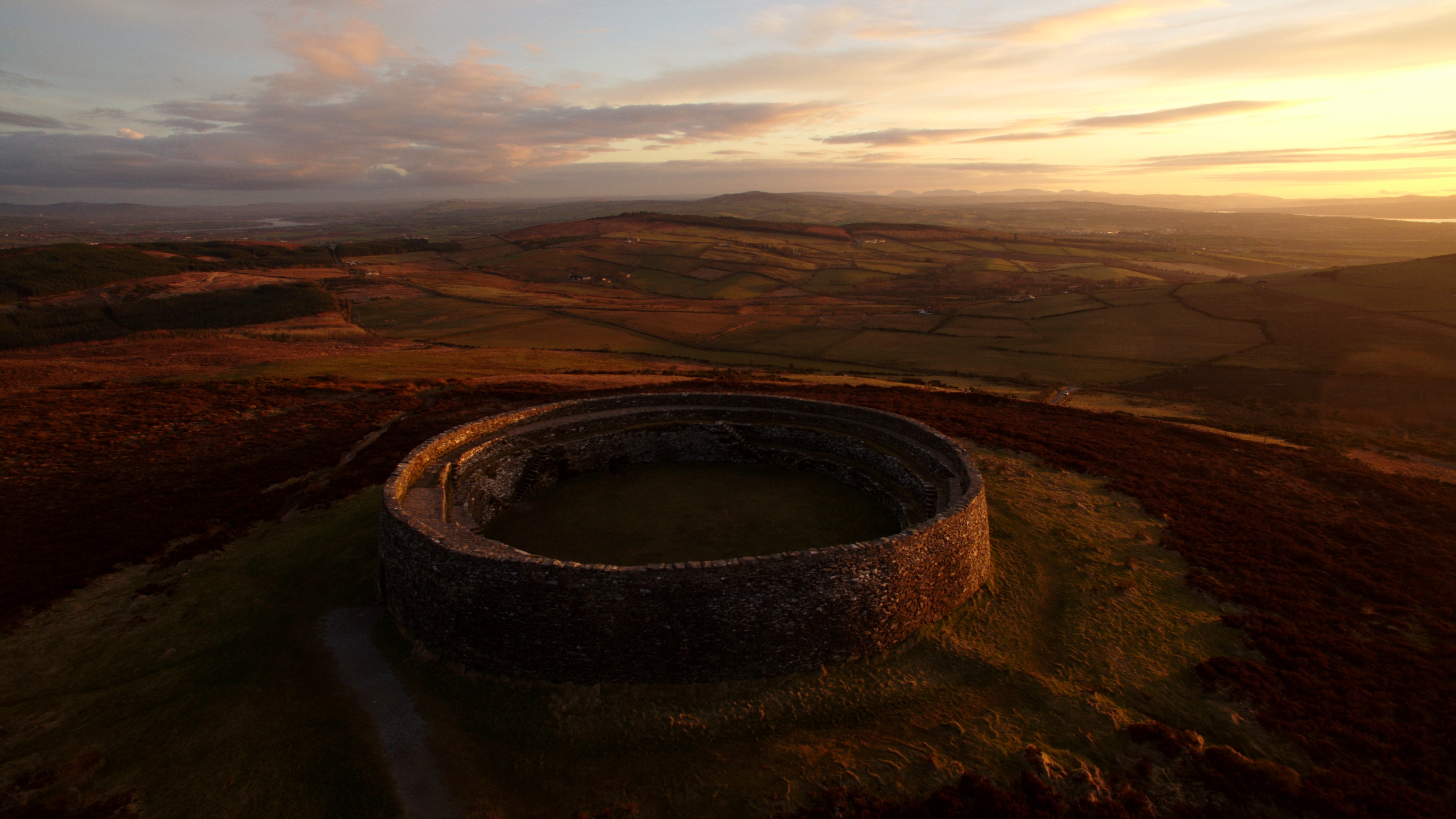 Lisnagreeve fortFairy fort / earthen ringfort · 1.8 mi
 John Francis GreenMemorial · 1.9 mi
 Harper's IslandIslet · 2.1 mi
 Garmany's IslandIslet · 2.2 mi
 MullavashPassage tomb · 2.3 mi
 Mullyash MountainMountain / peak · 2.4 mi
 Big Tom Memorial StatueMemorial · 2.5 mi
 Monaghan WayWalking route · 2.5 mi
 Blaney CastleCastle · 2.6 mi
 Bawn in OnomyBawn · 2.6 mi