What is recorded here
Two earthen banks and a shadowy ditch circle thirty metres of northern grassland in Dunblaney, marking a human home long before the fairy label stuck. The inner ridge still wears fragments of stone facing at the north, while the outer bank disappears beneath a later field wall from northeast to southeast. A clear gap at the northeast invites entry, suggesting the fort remained useful enough to keep open rather than seal shut. The name change is not dismissal but local instinct: when a place stops serving people and becomes strange, it reclaims the old world.
On a N-facing slope in otherwise level grassland. Subcircular ringfort (E-W 34.5m, N-S 30.5m), in fair condition, defined by two banks and an intervening fosse. The inner bank is breached by numerous gaps from S to W, and traces of inner stone-facing survive at N. The outer bank is overlain by a field wall from NE to SE and at W. Well-defined entrance at NE. (Neary 1914, 115, no. 104)
The above description is derived from the published 'Archaeological Inventory of County Galway Vol. II - North Galway'. Compiled by Olive Alcock, Kathy de hÓra and Paul Gosling (Dublin: Stationery Office, 1999).
Date of upload: 05 August 2010
The monument record does not grant public access. Check the route and ask the landowner before entering private land.
- What survives
- Recorded monument
Places near here
 Church (in Ruins)Church · 1258 yd
 Rampark FortFairy fort / earthen ringfort · 1598 yd
 Enclosure in Knockroe (ballymoe By.)Enclosure · 1.0 mi
 Claddagh Castle (in ruins)Castle, tower house · 1.3 mi
 Kilmurry Church (in ruins)Church · 1.3 mi
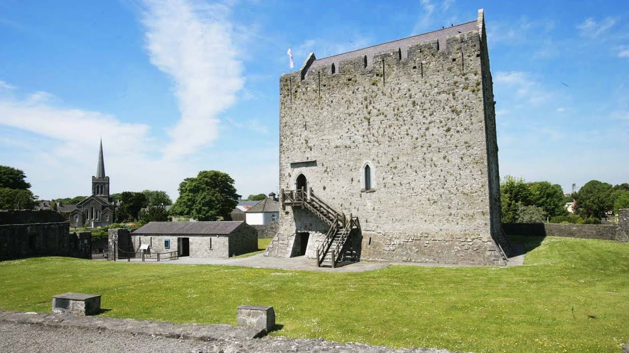 Lerhin CastleCastle · 3.8 mi
 European ashEuropean ash · 7.3 mi
 Knockmoy AbbeyHeritage attraction · 8.4 mi
 Mass RockNamed rock · 9.1 mi
 Menlough IRAMemorial · 11 mi
 KnockmaaWood · 11 mi
 Enclosure in Brackloon (ballymoe By.)Enclosure · 1.0 mi