What is recorded here
Fairy fort / earthen ringfort in Dually is a fairy fort or earthen ringfort in Dually, County Tipperary, Ireland. It occupies an oval area measuring 40 metres north-south and 37 metres east-west, defined by a bank with an overall width of 5.4 metres, a top width of 1.75 metres, an internal height of 0.8 metres and an external height of 1.7 metres. A possible entrance gap 2.5 metres wide opens toward the south-southwest, while a fosse 6.05 metres wide at the top and 3.35 metres wide at the base with a depth of 0.5 metres runs west through south-southwest but is backfilled from south-southwest to west. The interior has a gentle south-facing slope, an uneven surface and a possible hut site slightly off-centre to the east.
In pasture, on a gentle SW-facing slope; Excellent views E-SW. Oval area (dims. 40m N-S; 37m E-W) defined by bank (overall Wth 5.4m; Wth at top 1.75m; int. H 0.8m; ext. H 1.7m). Possible entrance gap (Wth 2.5m) at SSW. Fosse (overall Wth 6.05m; basal Wth 3.35m; D 0.5m) W-SSW is backfilled SSW-W. Interior has a gentle S-facing slope and an uneven surface. Possible hut site (TS061-016001-) within, is slightly off-centre to E.
Compiled by: Jean Farrelly
Date of upload: 26 August 2011
The monument record does not grant public access. Check the route and ask the landowner before entering private land.
- What survives
- Recorded monument
Places near here
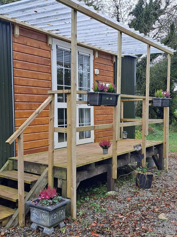 Hut site in DuallyHut site · 4 yd
 Enclosure in Newpark (ballysheehan Par.)Enclosure · 476 yd
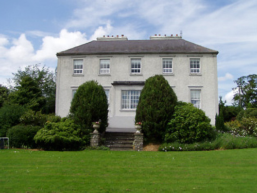 Dually Househouse · 737 yd
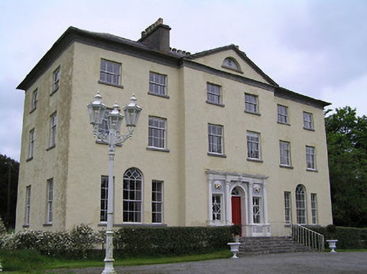 Ballyowen Housecountry house · 1000 yd
 Gortmakellis CastleCastle · 1.1 mi
 Meldrum Castle (ruins)Castle · 1.3 mi
 Ballyknock HillMountain / peak · 1.6 mi
 The Rock Of CashelVisitor information · 2.8 mi
 Cormac's ChapelHeritage attraction · 2.8 mi
 Rock of CashelHeritage attraction · 2.8 mi
 Black mulberryBlack mulberry · 2.9 mi
 Killough Hill (site of)Mountain / peak · 4.6 mi