What is recorded here
No amount of thinking can invent a new fact about Drumsna. The facts already contain a circular earthwork, a nearby rath, a wet fosse and a hidden entrance. Anything added must remain visible in those facts or absent from the answer.
Marked as a circular enclosure only on the OS 25-inch map. This site is located just off the crest of the SE-facing slope of a drumlin. It is visible as a circular area (diam. 25.2m NE-SW; 23.4m NW-SE) defined by a slight earthen bank (Wth 4-8m; int. H 0.1-0.3m; ext. H 0.1-0.3m) S-N-E that is reduced to a scarp (at SE: H 0.4m) elsewhere. This perimeter is surrounded by a fosse (Wth of top 4.3-7m; Wth of base 2.5-3.8m; D 0.1m) W-N-E which is visilbe as a wet area elsewhere. There is no visible entrance. Rath (LE031-087----) is c. 100m to the E and rath (LE031-086001-) is immediately to the SW.
Compiled by: Michael Moore
Date of upload/revision: 15 December 2011
The monument record does not grant public access. Check the route and ask the landowner before entering private land.
- What survives
- Recorded monument
Places near here
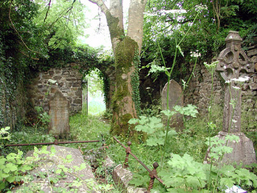 graveyard/cemeterygraveyard/cemetery · 233 yd
 Catholic Church of the Immaculate Conceptionchurch/chapel · 238 yd
 Robert Strawbridge MemorialMemorial · 290 yd
 Declaration of IndependenceMemorial · 309 yd
 IndicatedEnclosure · 397 yd
 Wildlife AreaNature reserve · 510 yd
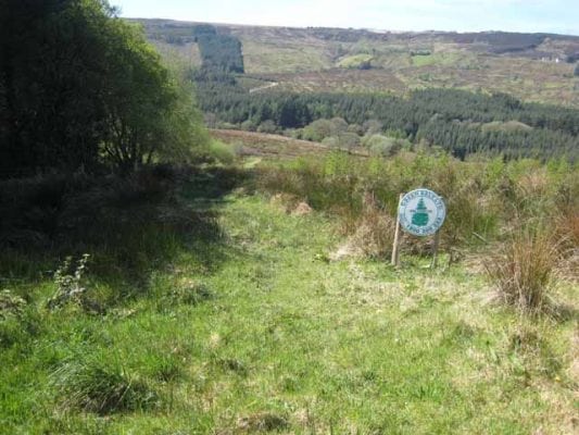 Embanked enclosureFairy fort / earthen ringfort · 537 yd
 Site of Dangan CastleCastle, unclassified · 2.5 mi
 Moon RiverHeritage attraction · 3.8 mi
 InishmoylinIslet · 4.0 mi
 Coarse IslandForest · 4.2 mi
 Dockery's IslandIslet · 4.3 mi