What is recorded here
Fairy forts are earthen rings. This one is a shallow circle, partly bank, partly scarp, on the slope of a drumlin in Drumsna. Rath LE031-086 stands nearby to the NE. The name fairy fort is local story, not proof of fairy residence.
Located towards the top of the SE-facing slope of a drumlin. It was first identified by S. Curran as part of an M.A. Thesis with University College Dublin using a LiDAR survey dataset commissioned by Leitrim County Council and the NRA. This is a circular grass-covered area (diam. 27m NE-SW; 25.2m NW-SE) defined by a slight bank (at N: Wth 4.6m; int. H 0.2m; ext. H 0.1m) NNW-NE that is reduced to a scarp (H 0.1m at SW to 0.4-0.5m NE-SE) elsewhere, and a fosse (Wth of top 5.1-6.5m; Wth of base 2.1-2.4m; int. D 0.1m; ext. D 0.2-0.4m) SW-NE. There is no visible entrance. Rath (LE031-086----) is immediately to the NE.
Compiled by Michael Moore
Date of upload: 24 April, 2013
Amended: 15 Aprli, 2014
The monument record does not grant public access. Check the route and ask the landowner before entering private land.
- What survives
- Recorded monument
Places near here
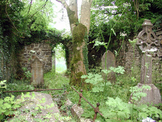 graveyard/cemeterygraveyard/cemetery · 234 yd
 Catholic Church of the Immaculate Conceptionchurch/chapel · 262 yd
 Robert Strawbridge MemorialMemorial · 290 yd
 IndicatedEnclosure · 342 yd
 Declaration of IndependenceMemorial · 344 yd
 Wildlife AreaNature reserve · 456 yd
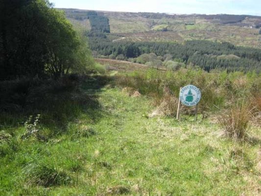 Embanked enclosureFairy fort / earthen ringfort · 484 yd
 Site of Dangan CastleCastle, unclassified · 2.5 mi
 Moon RiverHeritage attraction · 3.8 mi
 InishmoylinIslet · 3.9 mi
 Coarse IslandForest · 4.1 mi
 Dockery's IslandIslet · 4.3 mi