What is recorded here
Half a kilometre west of Drumsna, a grass-covered ringfort holds the southern slope of a drumlin. Its earthen bank rises nearly a metre above the ground while a shallow ditch cuts across the outside, marking the boundary between the living field and the forgotten room. People may have stood inside that oval to watch weather arrive or keep animals through winter. The fairies never answered questions about ownership, but they still occupy the space according to local tradition.
Located towards the top of the S-facing slope of a drumlin. This is a grass-covered oval area (int. dims. 28.75m NE-SW; 22.75m NW-SE) defined by a round-topped earthen bank (Wth 4.75m; int. H 0.25m; ext. H 0.95m) and a flat-bottomed external fosse (Wth at base 2.9m; D 0.5m) which becomes indistinct at S. Rath (LE031-086----) is c. 100m to the W. Archaeological testing (02E1235) c. 100m to the SE produced no archaeological material (Halpin 2004).
The above description is derived from 'The Archaeological Inventory of County Leitrim' compiled by Michael J. Moore (Dublin: Stationery Office, 2003). In certain instances the entries have been revised and updated in the light of recent research.
Compiled by: Michael Moore
Date of upload: 24 April, 2013
The monument record does not grant public access. Check the route and ask the landowner before entering private land.
- What survives
- Recorded monument
Places near here
 Catholic Church of the Immaculate Conceptionchurch/chapel · 319 yd
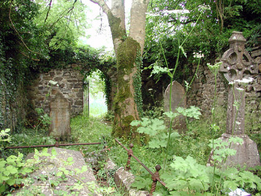 graveyard/cemeterygraveyard/cemetery · 349 yd
 Declaration of IndependenceMemorial · 357 yd
 Robert Strawbridge MemorialMemorial · 404 yd
 IndicatedEnclosure · 514 yd
 Wildlife AreaNature reserve · 605 yd
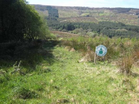 Embanked enclosureFairy fort / earthen ringfort · 665 yd
 Site of Dangan CastleCastle, unclassified · 2.6 mi
 Moon RiverHeritage attraction · 3.9 mi
 InishmoylinIslet · 4.0 mi
 Coarse IslandForest · 4.2 mi
 Dockery's IslandIslet · 4.3 mi