What is recorded here
Half-hidden beneath conifers and quartered by drainage ditches, the Drummury ringfort survives as a shallow circular scar on a drumlin ridge. Its eastern edge has vanished into planted trees while the western half still holds a faint band of rushes where an ancient ditch once cut the grass. People may have lived inside that narrow circle before forestry swallowed the evidence, yet the land has kept the shape even when human memory faded.
Situated on top of an E-W drumlin ridge. It is not marked on any OS map, but it is visible as a circular feature on aerial photographs (GSIAP: G 348-7). This is a circular area (diam. 29m E-W; 27m N-S) defined by a slight scarp (max. H 0.3m) and traces of a slight fosse visible as a band of rushes (Wth 2m) which is best preserved S-W-N. The monument is quartered by field banks and drains, the E half being planted in coniferous forest, while the W half is covered with grass and rushes. The original entrance is not identified.
The above description is derived from 'The Archaeological Inventory of County Leitrim' compiled by Michael J. Moore (Dublin: Stationery Office, 2003). In certain instances the entries have been revised and updated in the light of recent research.
Date of upload: 23 September 2008
The monument record does not grant public access. Check the route and ask the landowner before entering private land.
- What survives
- Recorded monument
Places near here
 IndicatedFairy fort / stone ringfort · 803 yd
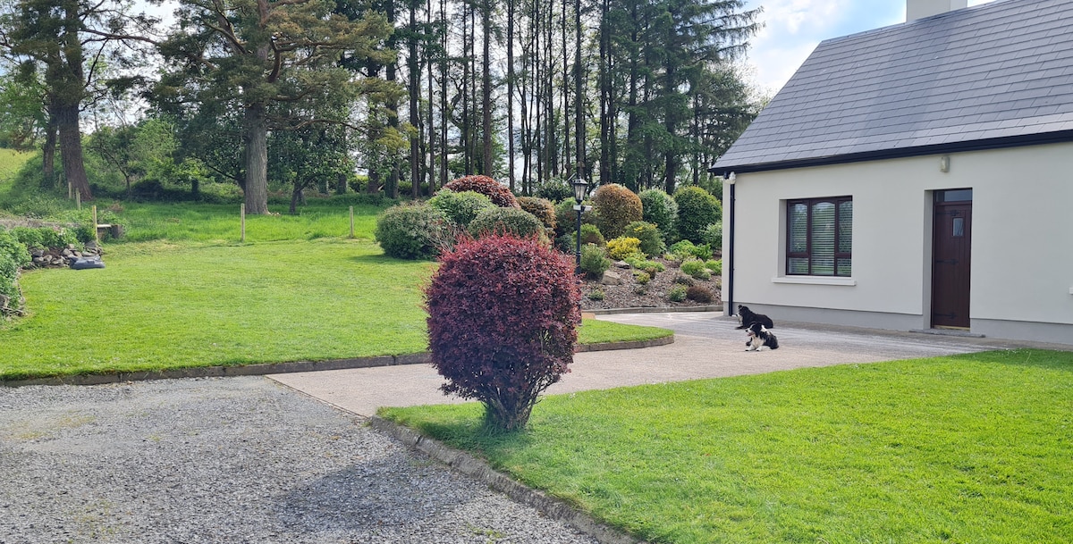 Not ineicatedFairy fort / earthen ringfort · 1440 yd
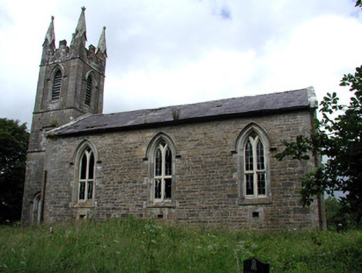 Killarga Churchchurch/chapel · 1582 yd
 Church (in Ruins)Church · 1.2 mi
 Green IslandIslet · 2.0 mi
 Old HallCastle, hall-house · 2.6 mi
 Doonbran Isd.Bawn · 4.0 mi
 BenboMountain / peak · 4.3 mi
 Cullentra ForestForest · 4.5 mi
 Parke's CastleHeritage attraction · 4.8 mi
 The Giants GraveArchaeological place · 4.8 mi
 Giants RockNamed rock · 5.0 mi