What is recorded here
Monsieu Drumlurg, a place of forts and fairy roads, keeps one circle hidden beneath grass and memory. The fort may still exist, reduced to a field bank or buried under centuries of rain and plough. It is not lost so much as waiting for someone to stop looking for stone and start listening for shape.
Situated at the N end of a NW-SE ridge on a broad drumlin summit. A circular embanked enclosure (ext. diam. c. 40m) is depicted only on the 1834 edition of the OS 6-inch map where it is described in gothic lettering as a ‘fort’. The bank could be incorporated into a curving field bank SE-SW (Chord c. 30m) but otherwise there is no visible evidence of this monument.
The above description is derived from the published 'Archaeological Inventory of County Monaghan' (Dublin: Stationery Office, 1986). In certain instances the entries have been revised and updated in the light of recent research.
Date of revision: 6 December 2017
The monument record does not grant public access. Check the route and ask the landowner before entering private land.
- What survives
- Recorded monument
Places near here
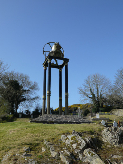 Saint Mary's Catholic Churchbell tower/stand · 512 yd
 Fairy fort / earthen ringfort in AghacloghanFairy fort / earthen ringfort · 1659 yd
 TobernagalliaghSpring · 1.1 mi
 Man-made underground passage in Bocks UpperMan-made underground passage · 1.3 mi
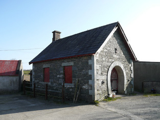 forge/smithyforge/smithy · 1.4 mi
 Gully IslandIslet · 2.5 mi
 Mannan Castle (in ruins)Castle, Anglo-Norman masonry castle · 2.6 mi
 Fincarn HillMountain / peak · 2.7 mi
 Rock IslandIslet · 2.7 mi
 Tally WoodWood · 3.4 mi
 KnockreaghMountain / peak · 3.6 mi
 Horse-chestnutHorse-chestnut · 3.7 mi