What is recorded here
Fairy fort in Drumlane, County Monaghan: an earthen ringfort on a drumlin ridge, its bank reduced to a scarp and its southwest part gone by 1995. What remains is a shallow circular shadow in the grass, wide enough for a small house or a dozen people standing inside. The gaps in the bank may be damage, or they may be the shape of forgetting.
Located on a shoulder of the SE-facing spine of a NW-SE drumlin ridge. This was described in 1968 as an overgrown circular area (diam. 41m NNW-SSE; 38m ENE-WSW) defined by an earthen bank at NW, which was largely reduced to a scarp (at NE: H 1.8m) with an outer fosse at NW across the spine of the ridge. There were many gaps in the bank but the original entrance was not identified. The SW part of the monument had been removed by 1995 (OSAP). Archaeological monitoring (98E0500) within 50m of the rath produced no related material (Byrne 2000).
The above description is derived from the published 'Archaeological Inventory of County Monaghan' (Dublin: Stationery Office, 1986). In certain instances the entries have been revised and updated in the light of recent research.
Revised by: Michael Moore
Date of revision: 9 May 2018
The monument record does not grant public access. Check the route and ask the landowner before entering private land.
- What survives
- Recorded monument
Places near here
 Enclosure in Cabragh (cremorne By)Enclosure · 703 yd
 Hut site in Drumguillew UpperHut site · 1265 yd
 IllanshivansIslet · 1.4 mi
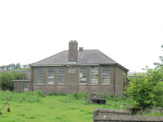 Scoil Náisiúnta Ultán Naomhthaschool · 1.5 mi
 Lough Egish IslandIslet · 1.5 mi
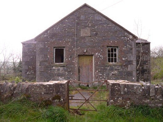 Annagleve National Schoolschool · 1.7 mi
 Monaghan WayWalking route · 2.7 mi
 Fincarn HillMountain / peak · 2.8 mi
 The CrescentMemorial · 3.0 mi
 Tally WoodWood · 3.2 mi
 Bawn in OnomyBawn · 3.5 mi
 Blaney CastleCastle · 3.6 mi