What is recorded here
Half of its boundary has vanished, yet the surviving earthen ring still stands at the drumlin tip like a forgotten guard post. The lost western arc suggests human hands or careless ploughs erased what remains visible. The fairies may have simply reclaimed the emptied chamber, leaving behind an ordinary hole in the ground.
Located at the tip of a short N-S spur on the S side of a NW-SE drumlin ridge. This is a circular grass-covered area (diam. 37.5m NW-SE; 35m NE-SW) defined by an earthen bank (at SE: Wth of base c. 4m; int. H 1.5m; ext. H 2.7m) and an outer fosse, with an outer field bank SSW-N-E. The entrance (Wth of base 2.5m) is at SE. By 1995 much of the perimeter had been removed W-N-S (OSAP). Archaeological testing (98E0499) for the line of an E-W water pipe c. 50m N of the monument produced no related material (Byrne 2000).
The above description is derived from the published 'Archaeological Inventory of County Monaghan' (Dublin: Stationery Office, 1986). In certain instances the entries have been revised and updated in the light of recent research.
Revised by: Michael Moore
Date of revision: 9 May 2018
The monument record does not grant public access. Check the route and ask the landowner before entering private land.
- What survives
- Recorded monument
Places near here
 Enclosure in Cabragh (cremorne By)Enclosure · 1021 yd
 Hut site in Drumguillew UpperHut site · 1223 yd
 IllanshivansIslet · 1.4 mi
 Lough Egish IslandIslet · 1.5 mi
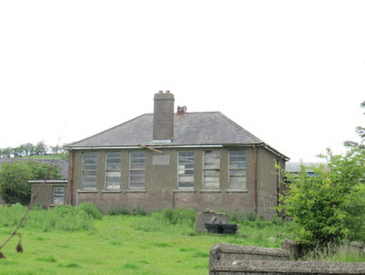 Scoil Náisiúnta Ultán Naomhthaschool · 1.6 mi
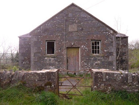 Annagleve National Schoolschool · 1.9 mi
 Monaghan WayWalking route · 2.9 mi
 Fincarn HillMountain / peak · 3.0 mi
 Tally WoodWood · 3.1 mi
 The CrescentMemorial · 3.3 mi
 Fort HillWood · 3.5 mi
 Bawn in OnomyBawn · 3.8 mi