What is recorded here
Fairy fort in Drumgowna: an earthen ringfort, just off the south-facing crest of a hill in County Monaghan. Its boundary may still exist as a shallow circle in pasture, about forty metres across, visible in aerial images. The name suggests people once believed the fort belonged to fairies rather than humans. That belief may have protected it, because fear and wonder keep hands off more often than ownership does.
Situated just off the S-facing crest of a hill. A circular earthwork is depicted here only on a revision of the 1834 edition of the OS 6-inch map dated 1858. Possible traces of an enclosure (diam. c. 40m) are visible in pasture on aerial images (OSAP: 2005).
The above description is derived from the published 'Archaeological Inventory of County Monaghan' (Dublin: Stationery Office, 1986). In certain instances the entries have been revised and updated in the light of recent research.
Revised by: Michael Moore
Date of revision: 1 February 2018
The monument record does not grant public access. Check the route and ask the landowner before entering private land.
- What survives
- Recorded monument
Places near here
 Black fortFairy fort / earthen ringfort · 834 yd
 Fairy fort / earthen ringfort in AghacloghanFairy fort / earthen ringfort · 1687 yd
 farm housefarm house · 1.1 mi
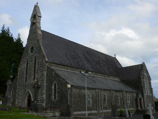 Saint Michael's Catholic Churchchurch/chapel · 1.5 mi
 TobernagalliaghSpring · 2.4 mi
 Tally WoodWood · 2.8 mi
 Horse-chestnutHorse-chestnut · 3.2 mi
 Gully IslandIslet · 3.2 mi
 Rock IslandIslet · 3.4 mi
 RaferaghMountain / peak · 3.4 mi
 Mannan Castle (in ruins)Castle, Anglo-Norman masonry castle · 3.4 mi
 Fincarn HillMountain / peak · 4.3 mi