What is recorded here
Drumeevin holds a forgotten rath on a prominent ridge, its shallow ditch and low earthen scarp still tracing an oval thirty metres across. Cattle may have trod it into pasture, or people may have lived there before the land changed; either way the ridge kept the shape. The conifers and fields have closed around it, but the ring remains visible from above, waiting to be remembered.
On top of a prominent ridge, aligned WNW-ESE, in hilly poorly drained pasture. Mature conifer plantations are visible to the W and SE, with more recent ones in the fields to the N and S. Hachured on the 1840 and 1916 eds. of the OS 6-inch maps. Classified as Enclosure in the RMP (1996).
On inspection in May 1999, a vague oval enclosure (30m N-S; 25m E-W), defined by a low earthen scarp (H c. 0.1m), was visible intermittently. A shallow ditch (L c. 10m; Wth 2.8m) ran around it at NE. The interior was higher in the centre and sloped to the N and S. Possibly a rath. Its outline is clearly visible on current aerial imagery (OSi digitalglobe 2011-2013).
Compiled by: Olive Alcock and Lynda McCormack
Date of upload: 29 June 2022
A fairy fort or earthen ringfort in Drumeevin is a circular earthwork enclosure, likely dating to the early medieval period, associated with both ancient settlement and local folklore of fairy realms. Its hachuring on 19th-century maps suggests recognition of its antiquity, while its prominent ridge-top position may reflect strategic or ritual significance.
The monument record does not grant public access. Check the route and ask the landowner before entering private land.
- What survives
- Recorded monument
Places near here
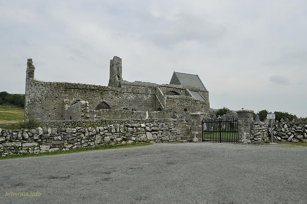 Knockaunacurra FortFairy fort / ringfort · 928 yd
 Toormore FortFairy fort / earthen ringfort · 1090 yd
 Inchovea Castle (in ruins)Castle, unclassified · 1319 yd
 Saint Attracta's Catholic Churchchurch/chapel · 1553 yd
 Kiltoraght Church (in ruins)Church · 1.3 mi
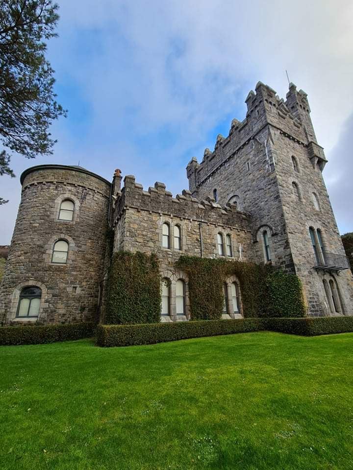 Tullagh Castle (in ruins)Castle, unclassified · 1.8 mi
 Fergus River CaveCave · 2.8 mi
 European ashEuropean ash · 3.1 mi
 Inchiquin IslandIslet · 3.4 mi
 Burren Centre KilfenoraVisitor information · 3.5 mi
 Rock IslandIsland · 3.5 mi
 High CrossHeritage attraction · 3.5 mi