What is recorded here
No visible entrance or deep ditch, only a shallow oval scar half-swallowed by pasture and field banks. People may have lived there before the land was taken for grass, but the earth has erased most of their shape. What remains is a faint boundary, large enough to hold a house and small enough to disappear when nobody is looking.
Situated in improved pasture on a slight NW-SE ridge in a low-lying drumlin landscape. It was first identified by Susan Curran as part of an M.A. thesis with University College Dublin using a LiDAR survey dataset commissioned by Leitrim County Council and the National Roads Authority. This is an oval area (dims 30m NW-SE; 24m NE-SW) defined by a low scarp (at N: Wth 2.4m; H 0.2m), which is best preserved (at W: Wth 3.4m; H 0.7m) on the downslope side SW-NW. The perimeter is slightly truncated by a NW-SE field bank at NE and a NE-SW filed bank and drain are c. 8m outside the perimeter at N. There is no visible fosse or identifiable entrance.
Compiled by: Michael Moore
Date of upload: 11 May, 2015
A fairy fort or earthen ringfort in Drumcoora is a likely early-medieval circular earthwork, typically associated with domestic or defensive use by early Irish settlers. Local folklore often links such sites to the faé or supernatural beings, with traditions of hidden entrances to the Otherworld.
The monument record does not grant public access. Check the route and ask the landowner before entering private land.
- What survives
- Recorded monument
Places near here
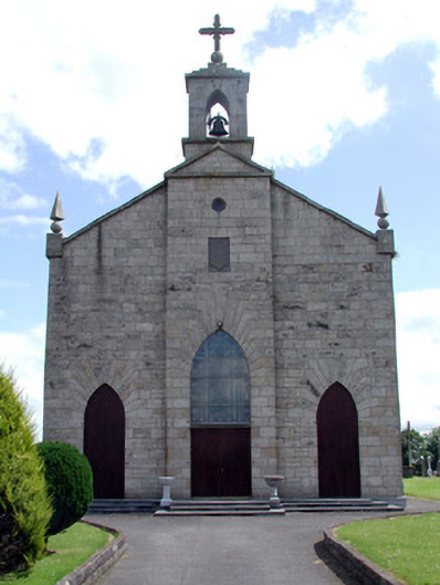 Catholic Church of the Immaculate Conceptionchurch/chapel · 987 yd
 MonumnetEnclosure · 1208 yd
 FortsFairy fort / earthen ringfort · 1515 yd
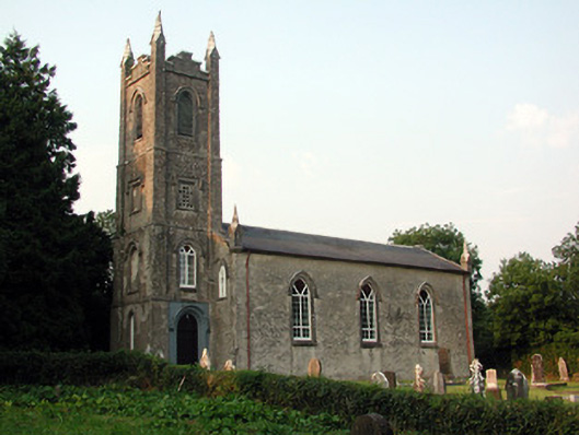 Saint Anne's Church (Annaduff)church/chapel · 1.7 mi
 Tom Dunphy MemorialMemorial · 1.7 mi
 Wildlife AreaNature reserve · 2.4 mi
 Declaration of IndependenceMemorial · 2.6 mi
 InishmoylinIslet · 3.2 mi
 Coarse IslandForest · 3.3 mi
 Site of Dangan CastleCastle, unclassified · 3.5 mi
 Dockery's IslandIslet · 3.5 mi
 Turlough O'Carolan MonumentHeritage attraction · 3.6 mi