What is recorded here
Fairy fort in Drumbranned, County Leitrim. A D-shaped grass platform, 31 metres long and 16 wide, sits on the western slope of a drumlin. A low scarp and a rush-lined fosse mark its edge, but a road has cut through the southern part and the entrance has vanished. The shape remains clear enough to imagine lives lived inside it, even if the doorway is gone.
Located towards the top of the W-facing slope of a drumlin. This is a grass-covered D-shaped platform (dims 31m E-W; 16m N-S) defined by a grass and scrub-covered scarp (H 0.45m) with a fosse (Wth 1.7m) indicated by a band of rushes W-N-E. The monument is truncated by a NE-SW road at S, and the original entrance is not evident.
The above description is derived from 'The Archaeological Inventory of County Leitrim' compiled by Michael J. Moore (Dublin: Stationery Office, 2003). In certain instances the entries have been revised and updated in the light of recent research.
Date of upload: 23 September 2008
The monument record does not grant public access. Check the route and ask the landowner before entering private land.
- What survives
- Recorded monument
Places near here
 IndicatedFairy fort / earthen ringfort · 695 yd
 St. Patricks WellHoly well · 745 yd
 Sheemore Ambush MemorialMonument · 1231 yd
 Leabaidh DermotCave · 1.0 mi
 bridgebridge · 1.6 mi
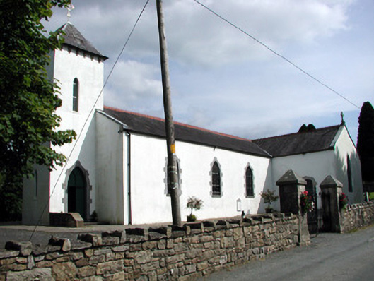 Saint Brigid's Catholic Churchchurch/chapel · 2.0 mi
 Rusheen IslandIslet · 2.4 mi
 Castle JohnCastle · 2.4 mi
 Small IslandIslet · 2.5 mi
 Shannon-Erne WaterwayVisitor information · 2.9 mi
 Sit of Breifny CastleCastle, tower house · 2.9 mi
 Battle of Áth an Chipbattle · 3.4 mi