What is recorded here
Drumavaddy holds a D-shaped earthen ringfort on a drumlin ridge, marked on maps since 1793 and still defined by a scarp and hedge. The western edge is truncated by a field bank, hiding the entrance and denying the fort a complete circle. That incomplete shape suggests human hands kept altering the boundary long after the first builder left, perhaps adjusting the line for livestock, vision or memory rather than defence.
Located at the summit of a small NW-SE drumlin ridge. This rath is depicted on McCrea’s map of County Monaghan (1793) and on the 1834 and 1907 editions of the OS 6-inch map. It is a D-shaped grass-covered area (dims 43.5m N-S; c. 40m E-W) defined by a scarp and hedge (at W: H 1.6m). There is no visible fosse or identifiable original entrance and the perimeter is probably truncated by a NW-SE field bank at W.
The above description is derived from the published 'Archaeological Inventory of County Monaghan' (Dublin: Stationery Office, 1986). In certain instances the entries have been revised and updated in the light of recent research.
Compiled by: Michael Moore
Date of revision: 27 February 2018
A D-shaped earthen fairy fort (ringfort/rath) located on a drumlin ridge in Drumavaddy, likely dating to the early medieval period. It appears on 18th- and 19th-century maps and is traditionally associated with fairy legend, as suggested by its name.
The monument record does not grant public access. Check the route and ask the landowner before entering private land.
- What survives
- Recorded monument
Places near here
 CashelFairy fort / stone ringfort · 739 yd
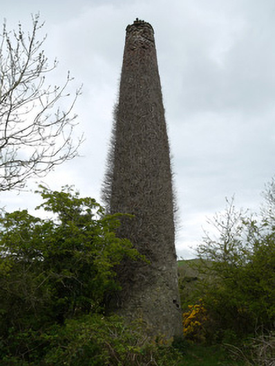 chimneychimney · 895 yd
 Fincarn HillMountain / peak · 1312 yd
 FincarnCairn, unclassified · 1332 yd
 Thornford Housestore/warehouse · 1429 yd
 Whites IslandIslet · 2.1 mi
 Gully IslandIslet · 2.4 mi
 Bawn in OnomyBawn · 2.6 mi
 Blaney CastleCastle · 2.6 mi
 The CrescentMemorial · 2.7 mi
 Big Tom Memorial StatueMemorial · 2.7 mi
 Lough MucknoLake and park landscape · 2.7 mi