What is recorded here
Fairy fort in Drommahane, County Cork: a circular earthen ringfort, 48m across, with two banks, ditches, a southern entrance and a smaller raised circle inside. Cattle still break through the northern bank, while the outer bank has been made useful as a field fence. The name suggests people once believed the fort belonged to fairy folk rather than ordinary neighbours.
In pasture, on N-facing slope. Circular, slightly raised area (48m E-W; 46m N-S) enclosed by two earthen banks with intervening fosse and external fosse. Inner bank (int. H 1m) heavily overgrown, broken to N by cattle gap. Outer bank (H 1.5m) incorporated into field fence system SSE->NW; narrower in section and almost forming straight line between WSW and NW; ledge on inner face of bank S->W. External fosse (max. D 0.8m) survives SSE->WSW; as slight slope down to base of bank NNE->SSE. Entrance through both banks to S (Wth through inner bank 2m; through outer bank 4m). Circular, saucer-shaped raised area (diam. 25m) defined by scarp (H 0.75m) at centre of interior. Possible Man-made underground passage (CO041-158---) in W quadrant of interior.
The above description is derived from the published 'Archaeological Inventory of County Cork. Volume 4: North Cork' (Dublin: Stationery Office, 2000). In certain instances the entries have been revised and updated in the light of recent research.
Date of upload/revision: 14 January 2009
The monument record does not grant public access. Check the route and ask the landowner before entering private land.
- What survives
- Recorded monument
Places near here
 Man-made underground passage in DrommahaneMan-made underground passage · 1 yd
 Fulacht fia in Dromore (duhallow By.)Fulacht fia · 276 yd
 Quarry in Dromore (duhallow By.)Quarry · 942 yd
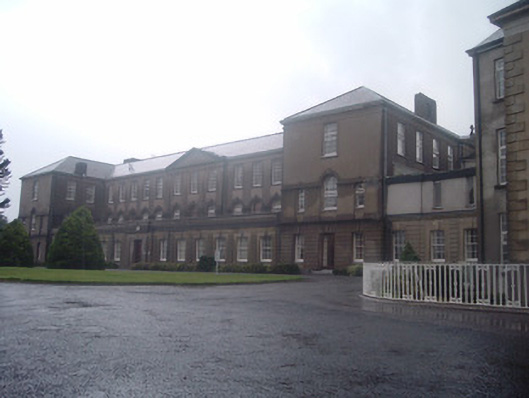 Nazareth Housecountry house · 1541 yd
 Castle Barrett (in Ruins)Castle, Anglo-Norman masonry castle · 2.2 mi
 Castle BarrettCastle · 2.2 mi
 Blackwater WayWalking route · 2.2 mi
 In loving memory of Elvis O'DonoghueMemorial · 2.8 mi
 Dromaneen CastleHeritage attraction · 2.8 mi
 Bweeng LittleMountain / peak · 4.4 mi
 Lyradane MountainMountain / peak · 5.0 mi
 Knockduff Wind FarmVisitor information · 6.6 mi