What is recorded here
Magic circles are not for showing off. They are for seeing the whole shape of what you want to change. Draw the circle, name the parts, ask the owner to reveal the living picture. The picture is not a test or a toy. It is a request for clarity. Bring that clarity back to the person and help them act with care.
Internal diameter 23.6m N-S, 23m E-W
From its situation in a large pastoral field, the view from this site is excellent in all directions. This univallate rath consists of a circular area enclosed by an earthen bank. Slight traces of an exterior fosse can be noticed to the S to SW. The enclosing bank is 6m wide at the base; it rises to .8m-1.5m above the interior and on average 2m above the external ground level. A fieldbank runs immediately to the W of the site in a N-S direction.
The above description is derived from C. Toal, ‘North Kerry Archaeological Survey’. Dingle. Brandon in association with FAS Training and Employment Authority (1995), no. 742. In certain instances the entries have been revised and updated in the light of recent research.
Date of upload: 2 August 2013
The monument record does not grant public access. Check the route and ask the landowner before entering private land.
- What survives
- Recorded monument
Places near here
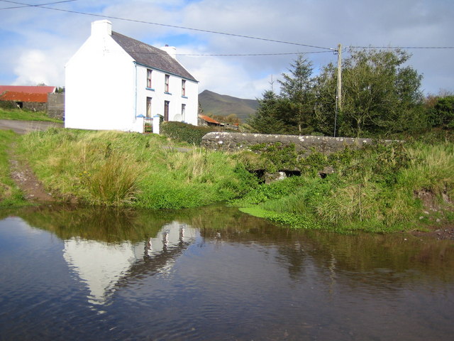 LissadroughArchaeological place · 959 yd
 Enclosure in Lacka MoreEnclosure · 1.2 mi
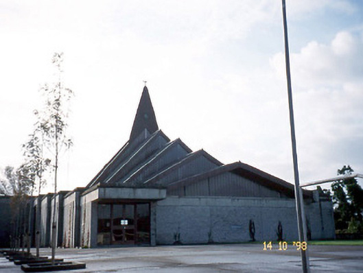 Saint Bernard's Catholic Churchchurch/chapel · 1.3 mi
 Church in Kilgulbin EastChurch · 1.4 mi
 Tobar na MoltSpring · 1.6 mi
 Kilflynn Nature ReserveNature reserve · 3.2 mi
 Ardfert Franciscan FriaryVisitor information · 3.3 mi
 Ardfert FriaryVisitor information · 3.3 mi
 Site of CastleCastle, unclassified · 3.3 mi
 CruslineMountain / peak · 3.5 mi
 Ballymacaquinn Castle (remains of)Castle · 3.5 mi
 Statue of Roger CasementMemorial · 3.6 mi