What is recorded here
Doonmore holds a earthen ringfort where clay still marks the boundary between human memory and fairy claim. The local name suggests people once believed the fort belonged to another world, yet its shape is a human making: a circle of soil built to resist forgetting. It stands in County Clare as a quiet warning that even ordinary fields can conceal rooms no map will admit.
The Archaeological Survey of Ireland (ASI) is in the process of providing information on all monuments on The Historic Environment Viewer (HEV). Currently the information for this record has not been uploaded. To access available information for research purposes please make an appointment in advance with the Archive Unit (open Fridays 10.00 am – 5.00 pm), Department of Housing, Local Government and Heritage, The Custom House, Dublin 1 D01W6XO or email NMarchive@housing.gov.ie.
A fairy fort, also known as an earthen ringfort or rath, is a circular earthwork enclosure typically dating to the early medieval period (c. 500–1000 AD), often associated with domestic or defensive use. Local folklore commonly links such sites to the fairy folk, with beliefs that they are entrances to an otherworldly realm.
The monument record does not grant public access. Check the route and ask the landowner before entering private land.
- What survives
- Recorded monument
Places near here
 CahergalFairy fort / earthen ringfort · 1291 yd
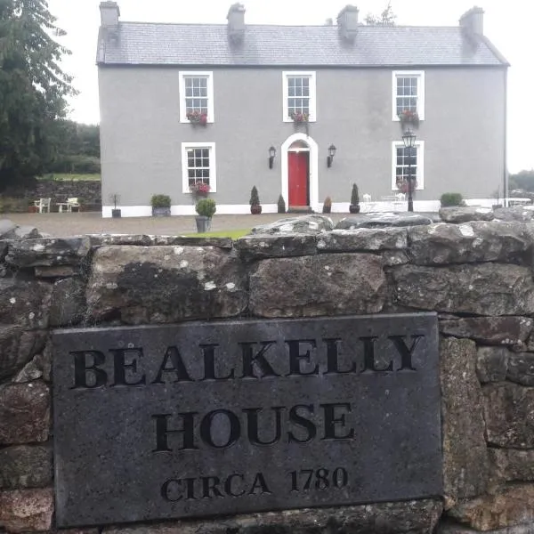 CaherduffFairy fort / earthen ringfort · 1483 yd
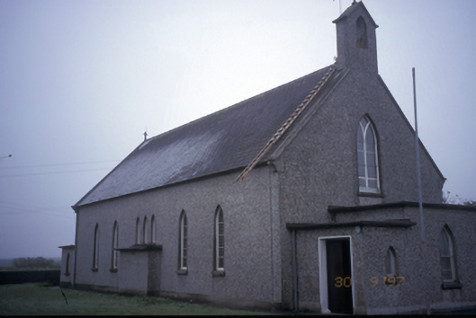 Saint Senan's Catholic Churchchurch/chapel · 1.1 mi
 Killard Church (in Ruins)Church · 1.5 mi
 Pulleen RockNamed rock · 1.7 mi
 Doonmore CastleRuins · 1.7 mi
 Doonmore Castle (in Ruins)Castle, tower house · 1.7 mi
 White StrandBeach / strand · 1.8 mi
 Doonbeg BayBay · 1.9 mi
 Doughmore BeachBeach / strand · 3.7 mi
 Diamond RockHeritage attraction · 4.9 mi
 Kilkee CliffsViewpoint · 5.5 mi