What is recorded here
Dooneens holds a true ringfort, not a fairy tale, though local imagination may have smoothed its edges. The earthen bank still stands 2.1m high around a circular space, with a southeast gap and a levelled interior shaped against the hillslope. A limekiln once cut into the eastern face, leaving a U-shaped scar after its removal around 1906. The fort overlooks the Blackwater valley, and its hidden central passage may still descend beneath the grass.
In pasture, atop natural rise, overlooking narrow valley of River Blackwater to NE and E. Circular area (38m N-S; 36m E-W) enclosed by earthen bank (H 2.1m). Gap (Wth 4m) to SE. Limekiln, built into external bank face to E, removed c. 1906 (Broker 1937, 48); U-shaped recess remains. Interior raised on NE side to compensate for hillslope; possible Man-made underground passage (9018) at centre.
The above description is derived from the published 'Archaeological Inventory of County Cork. Volume 3: Mid Cork' (Dublin: Stationery Office, 1997). In certain instances the entries have been revised and updated in the light of recent research.
Date of upload/revision: 14 January 2009
The monument record does not grant public access. Check the route and ask the landowner before entering private land.
- What survives
- Recorded monument
Places near here
 Fulacht FiadhFulacht fia · 588 yd
 IndicatedFairy fort / earthen ringfort · 892 yd
 Millstreet Railway Stationrailway station · 1087 yd
 Dromsicane Castle (in Ruins)Bawn · 1137 yd
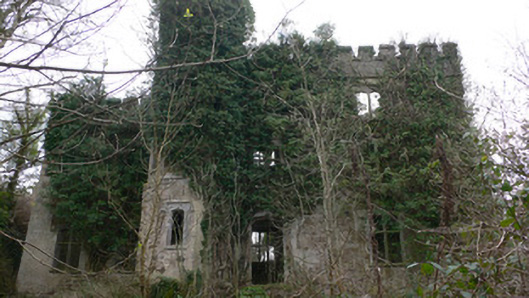 Duarrigle Castlecountry house · 1.1 mi
 Castle and TurretCastle, tower house · 1.4 mi
 Millstreet Museum & Tourist Information CentreMuseum · 1.8 mi
 Millstreet Tourist InformationVisitor information · 1.8 mi
 Claragh Loop (Trailhead 99)Visitor information · 1.8 mi
 Claragh MountainMountain / peak · 2.5 mi
 RowanRowan · 2.6 mi
 CurracahillMountain / peak · 4.1 mi