What is recorded here
Derrygeeraghan holds a forty-metre circular platform trapped between two heavy earthen banks and a deep central ditch. A modern trench has cut through the outer defence on the north side, yet the southeast entrance still emerges from the soil. People may have lived inside this double-walled ring before forgetting its name, while fairy stories later filled the vacancy with more plausible tenants.
Raised circular area (int. diam. c. 40m) enclosed by two substantial earthen banks with wide, deep, intermediate fosse. A modern trench, which was apparently dug on the site of a fosse, encloses the outer bank from NNW-N-NE. Outer bank identifiable only from SSW-N-NE. An earlier report (OPW 1969) recorded that the original entrance was at SE.
The above description is derived from the published 'Archaeological Inventory of County Cavan' (Dublin: Stationery Office, 1995). In certain instances the entries have been revised and updated in the light of recent research.
Date of upload/revision: 22 December 2008
The monument record does not grant public access. Check the route and ask the landowner before entering private land.
- What survives
- Recorded monument
Places near here
 Saint Patrick's Catholic Churchchurch/chapel · 639 yd
 IndicatedFairy fort / earthen ringfort · 1079 yd
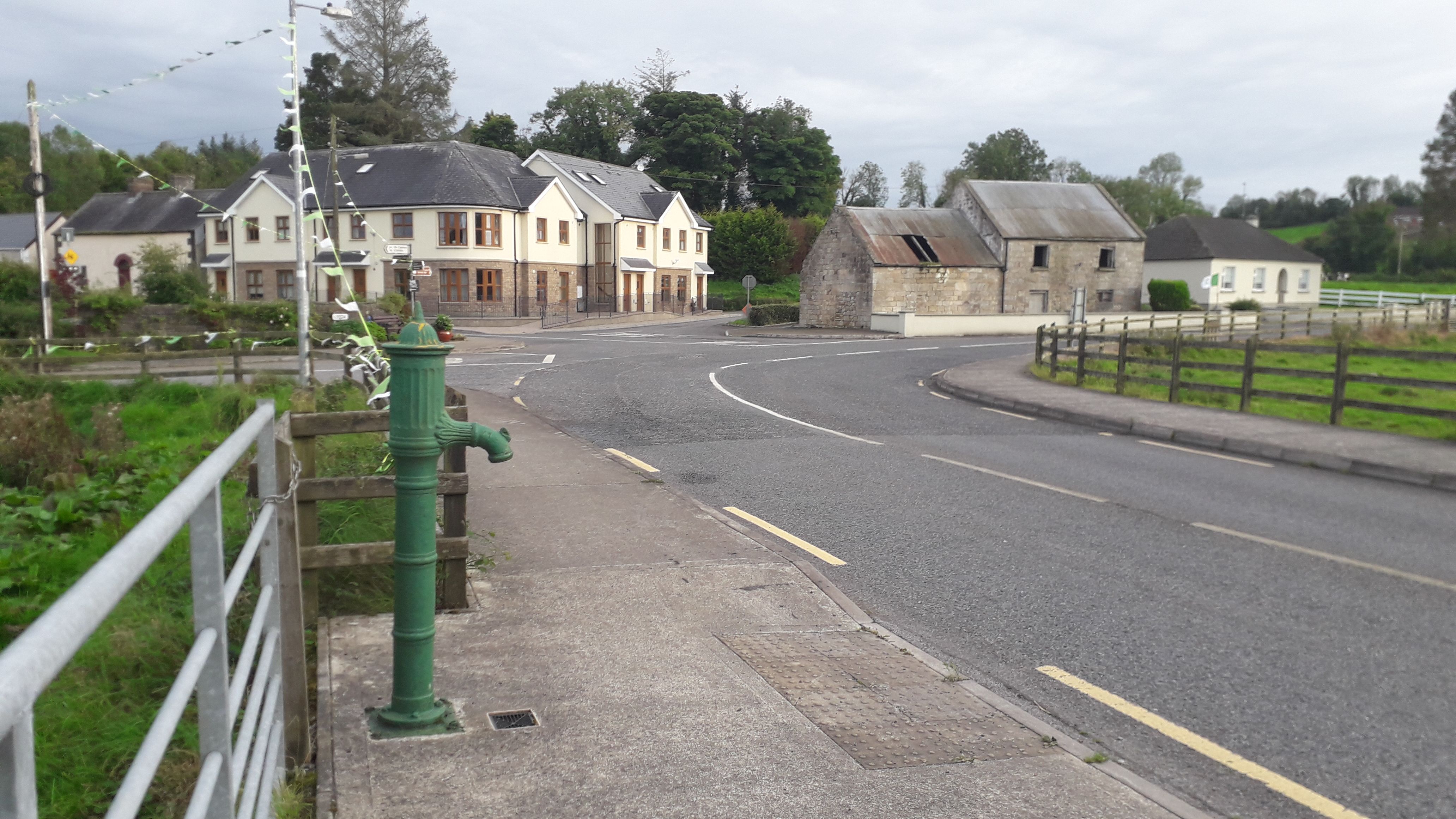 Milltown NorthWood · 1245 yd
 Church in ruinsReligious house, Augustinian canons · 1671 yd
 Drumlane AbbeyHeritage attraction · 1760 yd
 ArdanMountain / peak · 1.1 mi
 Abbey in RuinsEcclesiastical residence · 1.1 mi
 CastleCastle, unclassified · 1.1 mi
 DerrybrickMountain / peak · 1.3 mi
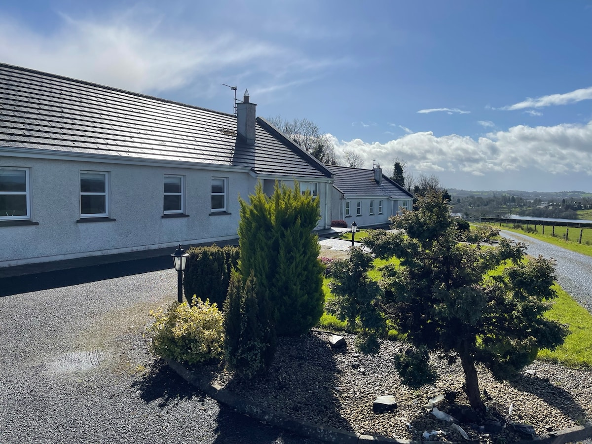 Cornadarragh ForestForest · 1.4 mi
 InishmuckIsland · 2.1 mi
 Turbet Island Castle Motte and BaileyArchaeological place · 2.2 mi