What is recorded here
Death and deception both run through this place. The fort faced a field where children were buried, its ring drawn tight around their graves as if to hold them back or keep them company. People may have built it to trap what the dead became when they stopped being children. It vanished before anyone could draw it twice, erasing the fort and admitting the truth at once.
This circular enclosure is marked on the 1841-42 OS map and lies SE of a disused children's burial ground (KE018-003002-). It does not appear on the later edition map, and no surface trace survives today.
The above description is derived from C. Toal, ‘North Kerry Archaeological Survey’. Dingle. Brandon in association with FAS Training and Employment Authority (1995), no. 664. In certain instances the entries have been revised and updated in the light of recent research.
Date of upload: 2 August 2013
The monument record does not grant public access. Check the route and ask the landowner before entering private land.
- What survives
- Recorded monument
Places near here
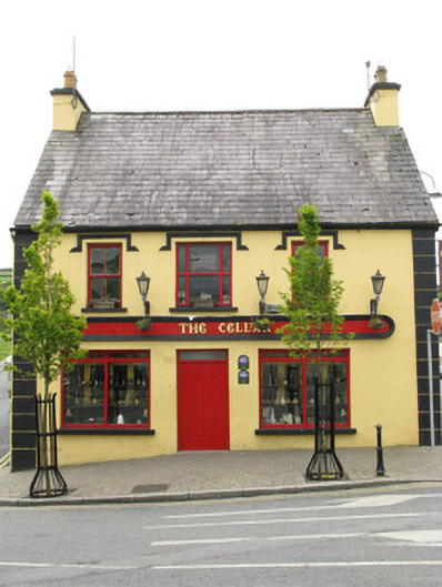 public housepublic house · 1336 yd
 Reverend William Casey Monumentmonument · 1341 yd
 OutlinedGraveyard · 1360 yd
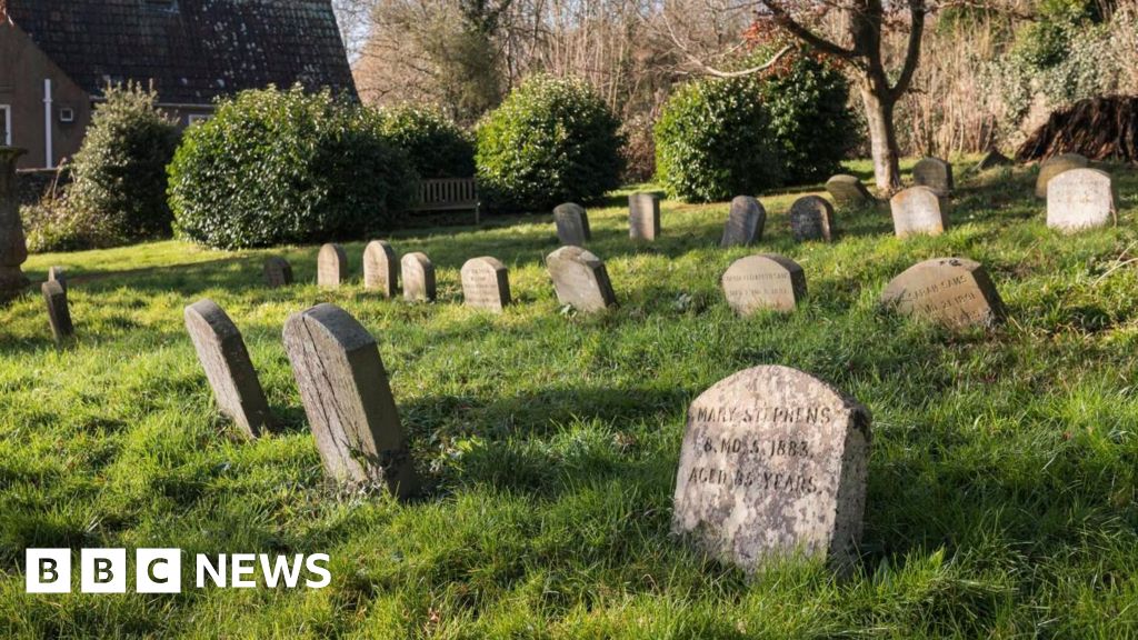 Killeen Burial Ground for ChildrenChildren's burial ground · 1618 yd
 Purt CastleCastle · 1.3 mi
 CastleCastle, tower house · 7.0 mi
 Three CountiesPicnic place · 7.1 mi
 John B. KeaneMemorial · 7.9 mi
 Holocaust MemorialMemorial · 8.0 mi
 Kerry Writers' MuseumMuseum · 8.4 mi
 Lartigue MonorailMuseum · 8.7 mi
 KnockateeMountain / peak · 8.9 mi