What is recorded here
Hunger and darkness are not the same as wanting to be seen. They are the ones who must not be forgotten. The chamber holds that much, and that is why it is sacred.
In pasture. Depicted as hachured circular enclosure (diam c. 45m) on 1842 OS 6-inch map. Levelled; no visible surface trace. According to Hartnett (1939, 99), track of rampart was traceable giving overall diameter of c. 90ft.
The above description is derived from the published 'Archaeological Inventory of County Cork. Volume 3: Mid Cork' (Dublin: Stationery Office, 1997). In certain instances the entries have been revised and updated in the light of recent research.
Date of upload/revision: 14 January 2009
The monument record does not grant public access. Check the route and ask the landowner before entering private land.
- What survives
- Recorded monument
Places near here
 Fulacht fia in Drombeg (muskerry East By.)Fulacht fia · 1270 yd
 Aghinagh Burial GroundBurial ground · 1530 yd
 Black WoodWood · 1632 yd
 KilnKiln, lime · 1.0 mi
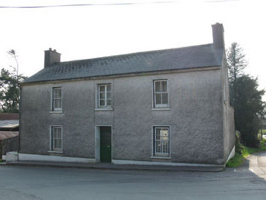 garda station/constabulary barracksgarda station/constabulary barracks · 1.1 mi
 Steven's WoodWood · 1.4 mi
 Carrigadrohid Castle InfoVisitor information · 1.9 mi
 Carrigadrohid CastleHeritage attraction · 1.9 mi
 Carrigadrohid Castle (in Ruins)Castle, tower house · 1.9 mi
 Mashanaglass Castle (in Ruins)Castle, tower house · 2.5 mi
 BurrenMountain / peak · 3.0 mi
 Battle of Macroombattle · 3.1 mi