What is recorded here
Half a kilometre south of the last tarred road, a shallow ring of earth still holds its shape in the marsh. Cattle grazed the bank flat for centuries, yet the middle remains eight centimetres above the drowned fields around it. People called it a fairy fort because the boundary disappeared whenever they stopped watching it. What they did not understand was that it was showing them the shape of forgetfulness, not hiding from them.
Internal diameter 23.4m N-S, 24.7m E-W
Situated in poor pastureland, the surrounding land is quite marshy. Two fields to the S lies another rath (KE015-087----). This univallate rath consists of a raised circular area c .8m above the surrounding land. The cattle have much levelled the enclosing earthen bank so an external measurement is all that could be taken. The interior is at a higher level than the surrounding land. According to the landowner (O'Sullivan) several fulachta fiadh have been discovered in the vicinity of the fort and all would appear to be located near springs.
The above description is derived from C. Toal, ‘North Kerry Archaeological Survey’. Dingle. Brandon in association with FAS Training and Employment Authority (1995), no. 545. In certain instances the entries have been revised and updated in the light of recent research.
Date of upload: 2 August 2013
The monument record does not grant public access. Check the route and ask the landowner before entering private land.
- What survives
- Recorded monument
Places near here
 Enclosure in Liscullane (clanmaurice By., Kilcaragh Par.)Enclosure · 1127 yd
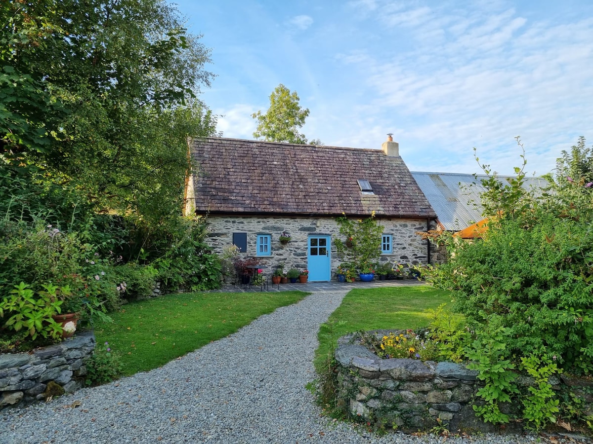 Hermitage in LixnawHermitage · 1306 yd
 CastleCastle, Anglo-Norman masonry castle · 1328 yd
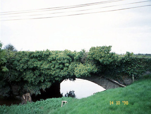 Lixnaw Bridgebridge · 1387 yd
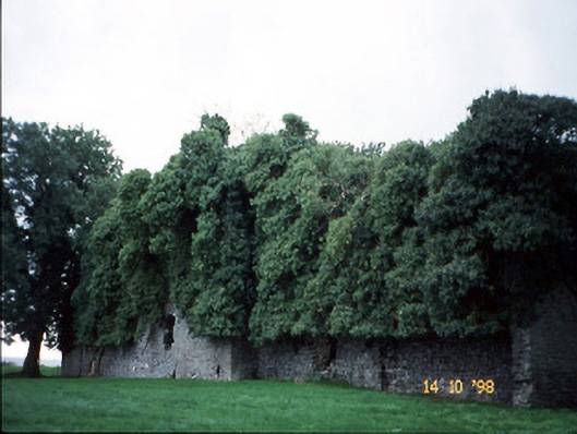 Old Courtcountry house · 1412 yd
 Kilflynn Nature ReserveNature reserve · 3.0 mi
 Ballymacaquinn Castle (remains of)Castle · 3.7 mi
 Stack's MountainMountain / peak · 5.6 mi
 CruslineMountain / peak · 5.7 mi
 Tobar na MoltSpring · 6.3 mi
 Pierce's IslandIslet · 6.7 mi
 Clashmealcon CavesCave · 6.8 mi