What is recorded here
No Fort Cloney, no Clogh na Ban, no Cloghbhin, no Caher, no Cavan manor, no Cavan Castle, no Cavan town, no Cavan cathedral, no Cavan abbey, no Cavan friary, no Cavan hospital, no Cavan school, no Cavan bridge, no Cavan road, no Cavan field, no Cavan farm, no Cavan house, no Cavan chamber, no Cavan vault, no Cavan chamber, no Cavan cellar, no Cavan pantry, no Cavan kitchen, no Cavan hall, no Cavan library, no Cavan archive, no Cavan museum, no Cavan gallery, no Cavan studio, no Cavan workshop, no Cavan forge, no Cavan smithy, no Cavan carpentry, no Cavan masonry, no Cavan weaving, no Cavan pottery, no Cavan glasswork, no Cavan metalwork, no Cavan woodwork, no Cavan bone work, no Cavan stone work, no Cavan earth work, no Cavan water work, no Cavan fire work, no Cavan air
Raised circular area (int. dims. 31.7m NNE-SSW; 30.6m WNW-ESE) enclosed by a substantial earthen bank and a wide fosse. Original entrance almost certainly at E.
The above description is derived from the published 'Archaeological Inventory of County Cavan' (Dublin: Stationery Office, 1995). In certain instances the entries have been revised and updated in the light of recent research.
Date of upload/revision: 22 December 2008
The monument record does not grant public access. Check the route and ask the landowner before entering private land.
- What survives
- Recorded monument
Places near here
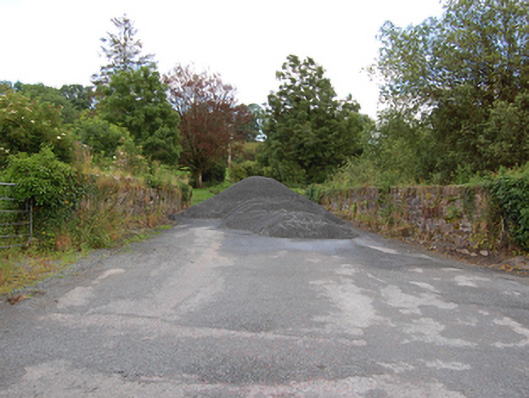 bridgebridge · 277 yd
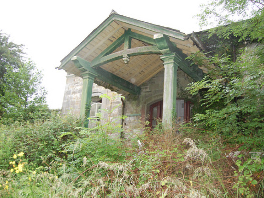 Crossdoney Railway Stationrailway station · 307 yd
 Coolnacarrick ForestForest · 438 yd
 Captain Thomas Sheridan IRAMonument · 531 yd
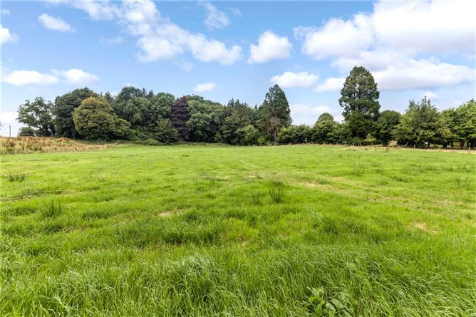 Drumbar ForestForest · 878 yd
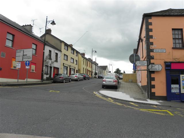 IndicatedFairy fort / earthen ringfort · 1293 yd
 BellvilleMountain / peak · 1557 yd
 Lismore CastleCastle, unclassified · 1663 yd
 Castle CosbyCastle, unclassified · 1.0 mi
 DrumcarbanMountain / peak · 1.1 mi
 Red IslandIslet · 2.9 mi
 Cornafean GFCMemorial · 2.9 mi