What is recorded here
Fairy forts are not a separate kind of site from ordinary ringforts. They are small rural enclosures that people stopped using, then explained with fairy stories because the purpose had become unclear. The true identity is therefore still visible in the shape, size and setting.
In field under cultivation. Circular area (36.5m N-S; 37.5m E-W), enclosed by earthen bank (H 0.4m), levelled SE to SW. Two linear earthen banks (L 16.5m N-S; L 11.6m E-W) situated in interior.
The above description has been derived from D. Lavelle (compiler), An Archaeological Survey of Ballinrobe and District including Lough Mask and Lough Carra. Lough Mask and Lough Carra Tourist Development Association (1994), No. 147.
Date of upload: 19 November 2013
The monument record does not grant public access. Check the route and ask the landowner before entering private land.
- What survives
- Recorded monument
Places near here
 IndicatedEnclosure · 184 yd
 Castle in ruinsCastle, tower house · 595 yd
 Enclosure in BallyjenningsEnclosure · 831 yd
 Bunacrower CastleCastle · 1582 yd
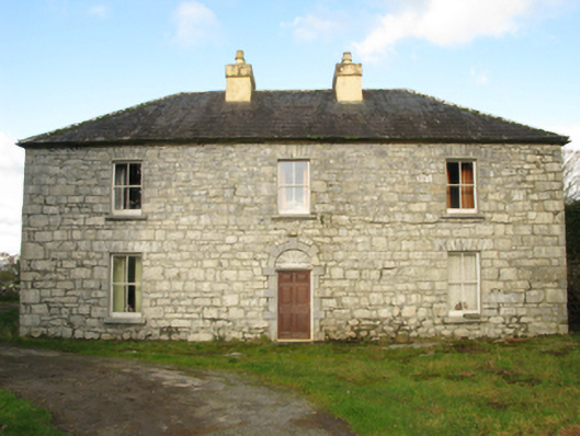 Carranvilla Housefarm house · 1.6 mi
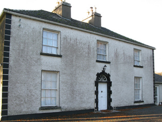 Fort Villefarm house · 1.8 mi
 SycamoreSycamore · 2.3 mi
 European ashEuropean ash · 3.2 mi
 LabbadermotCave · 4.5 mi
 Crane IslandIslet · 5.2 mi
 Cow IslandIslet · 5.3 mi
 School of FalconryHeritage attraction · 8.1 mi