What is recorded here
Creagh More holds a circular earthen fort twenty-three metres across, its tall bank enclosing a small life beside a stream. People called it a fairy fort because the gap faced west and the field still belongs to nobody visible. That much is written. The rest is imagination, but a useful one: human hands built the ring, forgot the name, and left the shape behind for fairy stories to occupy.
In pasture, on N bank of stream. Circular area (23m N-S; 21m E-W) enclosed by earthen bank (H 2.5m) WSW->N, with external fosse (D 0.5m); scarp elsewhere. Gap in bank to WSW.
The above description is derived from the published 'Archaeological Inventory of County Cork. Volume 1: West Cork' (Dublin: Stationery Office, 1992). In certain instances the entries have been revised and updated in the light of recent research.
Date of upload/revision: 14 January 2009
The monument record does not grant public access. Check the route and ask the landowner before entering private land.
- What survives
- Recorded monument
Places near here
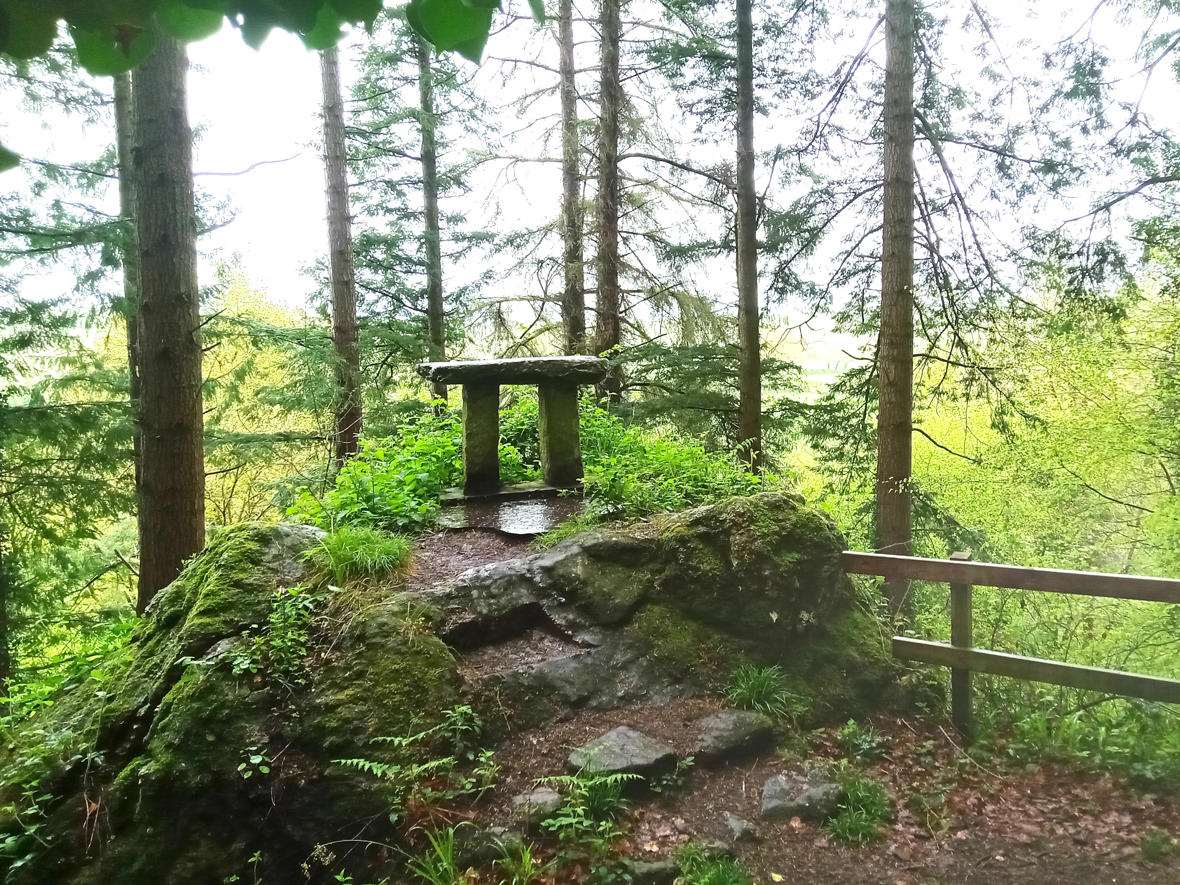 Mass-rock in Coorleigh SouthMass-rock · 612 yd
 Fulacht FianFulacht fia · 688 yd
 Kilkerranmore Church (in Ruins)Church · 1015 yd
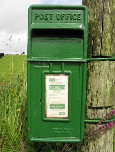 post boxpost box · 1108 yd
 Clonakilty Blackpudding Visitor CentreHeritage attraction · 1.9 mi
 Michael Collins MemorialMemorial · 2.0 mi
 Cottage MuseumMuseum · 2.1 mi
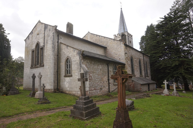 St. James WellSpring · 2.4 mi
 Cloch na gCoillteMemorial · 2.4 mi
 Castle Freke WoodsForest · 2.4 mi
 Castle (Site of)Castle, unclassified · 2.4 mi
 CastleCastle, unclassified · 2.5 mi