What is recorded here
No. There is not enough fact below to tell that as true. I need a little more evidence before I answer.
In pasture on S-facing slope. Bank levelled; scarp (H 0.9m) defines arc of circular area (diam. c. 38m) ESE->W. According to Ó Ríordáin (1933, 60) field known as "Pairc an leasa".
The above description is derived from the published 'Archaeological Inventory of County Cork. Volume 1: West Cork' (Dublin: Stationery Office, 1992). In certain instances the entries have been revised and updated in the light of recent research.
Date of upload/revision: 14 January 2009
The monument record does not grant public access. Check the route and ask the landowner before entering private land.
- What survives
- Recorded monument
Places near here
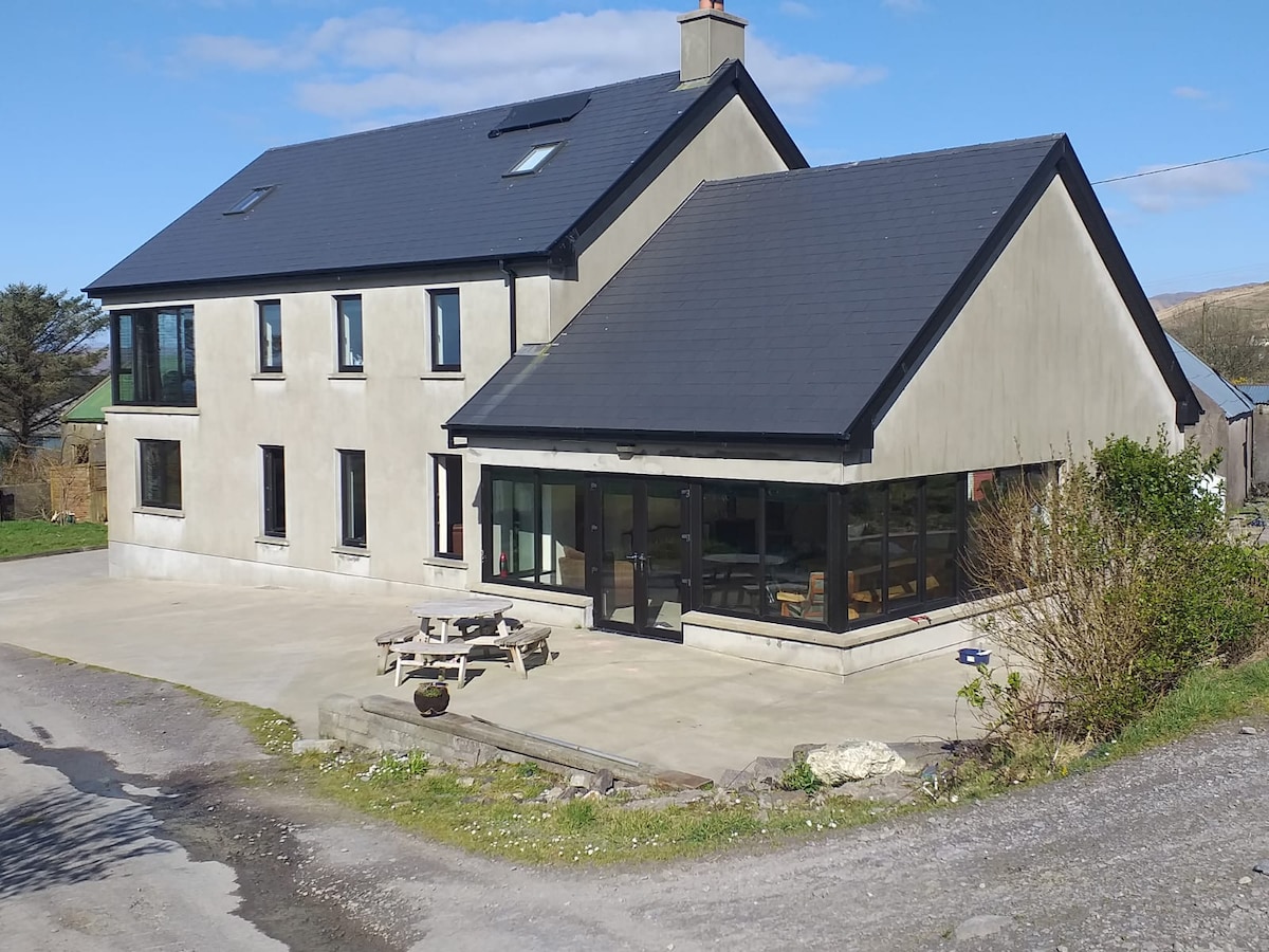 Killaneer HouseRuins · 1026 yd
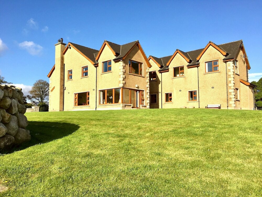 Country house in KillaneerCountry house · 1038 yd
 Megalithic structure in KillaneerMegalithic structure · 1588 yd
 Burnt mound in DromavaneBurnt mound · 1.2 mi
 Green HillMountain / peak · 2.5 mi
 Towers (in Ruins)House, fortified house · 3.2 mi
 Tobar MacloonaboySpring · 3.4 mi
 Michael Collins MemorialMemorial · 3.5 mi
 The GlenWood · 4.1 mi
 Castle DerryCastle · 4.4 mi
 Mount Pleasant WoodWood · 4.5 mi
 Castle RockNamed rock · 4.8 mi