What is recorded here
Magic is not required to explain the fort, only time. The earthen bank still stands twenty-three metres across on a steep slope above the Ferta, its southern gap perhaps marking the entrance used when the fort was new. A stony mound inside may be what remains of a hut, suggesting that someone lived there before grazing land and erosion took the rest.
Internal diam. 21.5m N-S, 23m E-W
Situated a short distance E of KE070-029---- and on the opposite bank of the Ferta river, this much disturbed univallate rath is located in rough grazing land on a fairly steep N facing slope. There is no trace of a fosse and the bank has a maximum external height of 1.85m at N. Only in the SE sector does it rise above the level of the interior of the site; here it reaches a maximum height of 1.45m and has a basal width of 3.1m. Eroded gaps occur in the bank at NW, NE and SE, but the gap at S, 1.1m wide, may mark the location of the original entrance. A stony mound with a central depression is located in the SW quadrant of the rath's interior. It measures 6m x 4.65m in overall dimensions and may represent the remnants of a hut (KE070-030001-).
The above description is derived from A. O'Sullivan and J. Sheehan (compilers), 'The Iveragh peninsula: an archaeological survey of South Kerry'. Cork University Press (1996), no. 497. In certain instances the entries have been revised and updated in the light of recent research.
Date of upload: 30 July 2013
This remains an important historical record, but the official description says the monument is no longer visible or has been destroyed. The monument record does not grant public access. Check the route and ask the landowner before entering private land.
- What survives
- No visible remains or recorded as destroyed
Places near here
 Church in CaherlehillanChurch · 450 yd
 Field system in Coulagh,teeromoyleField system · 985 yd
 SheepfoldHut site · 1179 yd
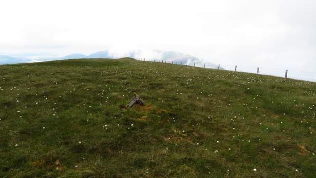 Been HillMountain / peak · 1.8 mi
 Teeromoyle MountainMountain / peak · 2.1 mi
 Soft Tree-fernSoft Tree-fern · 2.9 mi
 Chilean wine palmChilean wine palm · 2.9 mi
 Kells BeachBeach / strand · 3.1 mi
 Killinane Church (in ruins)Church · 3.3 mi
 Short Castle (Site of)Castle, unclassified · 3.3 mi
 Sheep Dog TrainingHeritage attraction · 3.4 mi
 FeaklecallyHeadland · 4.1 mi