What is recorded here
No human hands built that ring. The clay rose through the grass like a breath held too long, shaping itself into a fort only fairies could enter. People dropped coins and left bread outside the gap, never walking through. What the ring keeps is still unknown, but it has never once been empty.
Situated on top of an E-W drumlin ridge. This is a grass and rush-covered subcircular area (int. dims. 26.5m N-S; 23m E-W) defined by a grass-covered earthen bank (Wth 7m; int. H 0.5m; ext. H 1.8m) NE-ESE and SW-NW (Wth 7m; int. H 1m; max. ext. H 2m). Elsewhere the perimeter is defined by a scarp (H 1.6-1.8m) and there is an outer fosse (Wth of base 1m at E to 2m at W; D 0.5-1m) which is truncated by field banks at N and S. The entrance (Wth of base 3.3m) is at NE.
The above description is derived from 'The Archaeological Inventory of County Leitrim' compiled by Michael J. Moore (Dublin: Stationery Office, 2003). In certain instances the entries have been revised and updated in the light of recent research.
Date of upload: 23 September 2008
The monument record does not grant public access. Check the route and ask the landowner before entering private land.
- What survives
- Recorded monument
Places near here
 Sweat Ho.Sweathouse · 735 yd
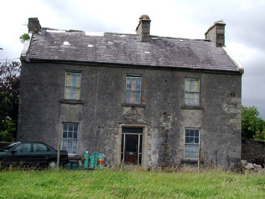 Drumkeel Housefarm house · 1.1 mi
 IndicatedSweathouse · 1.4 mi
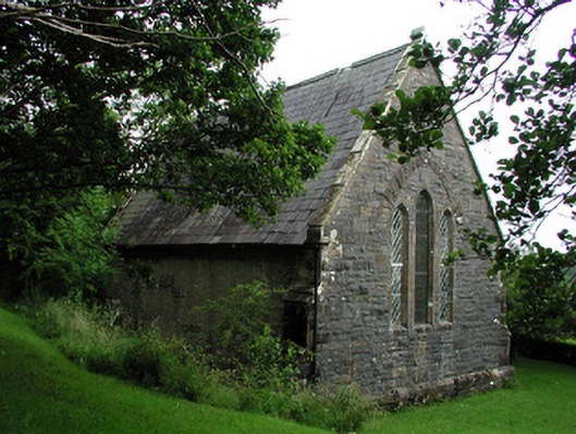 Creevelea Presbyterian Churchchurch/chapel · 1.7 mi
 Carrane HillCliff · 4.0 mi
 Old HallCastle, hall-house · 4.2 mi
 Green IslandIslet · 4.5 mi
 MoteCastle, motte · 5.4 mi
 Drummans IslandIslet · 5.4 mi
 Seltannasaggart SE SlopeMountain / peak · 5.4 mi
 Scardan WaterfallWaterfall · 5.8 mi
 European ashEuropean ash · 5.9 mi