What is recorded here
That is a fairy fort in Corratimore Glebe, County Leitrim. It is a grass-covered earthen ring on a low hill, wide enough to walk around but eroded until the bank disappears in places. The western gap is broad enough for a cart or a dancing crowd, depending on which truth you choose.
Situated on a rise towards the top of the N-facing slope of a low hill. This is a grass and reed-covered subcircular area (dims 24m E-W; 21m N-S) defined by an eroded and intermittently visible earthen bank (Wth 5m; int. H 0.1-0.3m; ext. H 1.2-1.4m) NE-S-W, which is reduced to a scarp (at N: H 1.7m) elsewhere. There is no visible fosse, but the entrance (Wth 3.5m) is at WNW.
The above description is derived from 'The Archaeological Inventory of County Leitrim' compiled by Michael J. Moore (Dublin: Stationery Office, 2003). In certain instances the entries have been revised and updated in the light of recent research.
Date of upload: 23 September 2008
The monument record does not grant public access. Check the route and ask the landowner before entering private land.
- What survives
- Recorded monument
Places near here
 Sweat Ho.Sweathouse · 1151 yd
 IndicatedSweathouse · 1720 yd
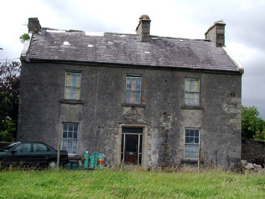 Drumkeel Housefarm house · 1.0 mi
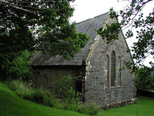 Creevelea Presbyterian Churchchurch/chapel · 2.0 mi
 Old HallCastle, hall-house · 3.7 mi
 Green IslandIslet · 4.1 mi
 Carrane HillCliff · 4.2 mi
 MoteCastle, motte · 4.9 mi
 Cullentra ForestForest · 5.7 mi
 Seltannasaggart SE SlopeMountain / peak · 5.8 mi
 Scardan WaterfallWaterfall · 6.3 mi
 Parke's CastleHeritage attraction · 6.5 mi