What is recorded here
Fairy fort / earthen ringfort in Corr (rathconrath By.) is a fairy fort or earthen ringfort in Corr (rathconrath By.), County Westmeath, Ireland. Situated on top of a prominent rise in gently undulating pasture, the earthwork was depicted as a circular shape on the 1837 Ordnance Survey map, measuring approximately 51 metres east-west and 48 metres north-south. By the revised 1913 map, it appeared as a modified, roughly oval-shaped feature that had been reduced significantly in area. A 1971 description identified a low earth and stone bank at the west, a steep scarp elsewhere, and a gap at the east that may represent the entrance.
Situated on top of a prominent rise, in gently undulating pasture, with good views in all directions. Depicted as a circular-shaped earthwork (approx. dims. 51m E-W; 48m N-S) on the 1837 ed. OS 6-inch map. Depicted on the revised 1913 ed. OS 25-inch map as a modified, roughly oval-shaped earthwork (approx. dims. 37m NW-SE; 35m NE-SW) which appears to have been reduced significantly in area.
Described in 1971 as a roughly circular, slightly irregular shaped area defined by a low earth and stone bank at W and a steep scarp elsewhere, an intervening fosse and traces of a possible counterscarp at SW. A gap (Wth at top 3.7m; basal Wth 2.75m) at E may represent the entrance. A U-shaped fosse is visible from SE-S-W-NW. The surface of the ground outside the monument is disturbed. The interior rises gently from the perimeter towards the centre and has a complex of banks including what may be the remains of a house site (WM017-108001-) in the centre. Monument is visible today as a modified, roughly circular-shaped, partially tree-lined earthwork on Digital Globe aerial photography.
Compiled by: Alison McQueen, Vera Rahilly and Caimin O’Brien
Date of upload: 10 January 2019
The monument record does not grant public access. Check the route and ask the landowner before entering private land.
- What survives
- Recorded monument
Places near here
 Hut site in Corr (rathconrath By.)Hut site · 1 yd
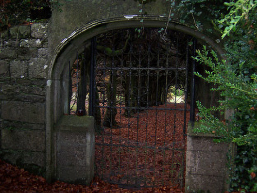 Glencara Housewalled garden · 544 yd
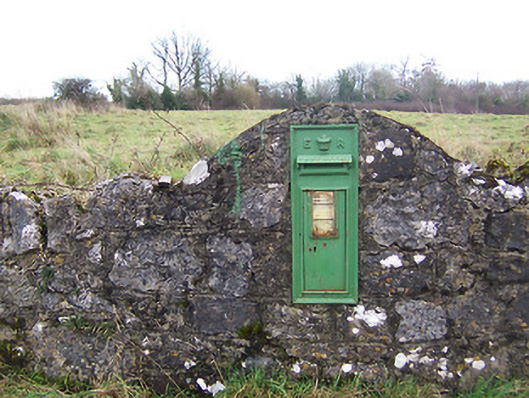 post boxpost box · 607 yd
 Hachured, 420 ODCastle, motte · 813 yd
 Enclosure in LockardstownEnclosure · 925 yd
 CastleCastle, tower house · 1347 yd
 Hill of UisneachMountain / peak · 1.6 mi
 Ancient Ring FortWood · 2.0 mi
 European ashEuropean ash · 2.0 mi
 Abbeyshrule AbbeyRuins · 6.0 mi
 Guest ServicesVisitor information · 6.6 mi
 Goldsmith Birthplace, PallasVisitor information · 6.9 mi