What is recorded here
Fairy fort in Cormeen, County Cavan: a small circular earthwork between the Woodford River and a stream, marked Fort on the 1836 survey. When the stream was diverted in 1847 the ground was probably levelled, yet a faint 23-metre ring may still be traced. It is the kind of place where ordinary fields keep a hidden shape, as if someone had drawn a circle in clay and walked away.
Marked 'Fort' on OS 1836 ed. and shown as occupying a small area of low-lying ground between the Woodford River and a stream. The stream was diverted in 1847 (local information) at which time the site was presumably levelled. The outline of a small circular enclosure (diam. c. 23.3m) may still be traced.
The above description is derived from the published 'Archaeological Inventory of County Cavan' (Dublin: Stationery Office, 1995). In certain instances the entries have been revised and updated in the light of recent research.
Date of upload/revision: 22 December 2008
A fairy fort or earthen ringfort in Cormeen, likely dating to the early medieval period, is marked as 'Fort' on the 1836 Ordnance Survey map and situated in a low-lying area near the Woodford River. Local tradition and the site's name suggest associations with Irish folklore, particularly beliefs in fairy realms and otherworldly inhabitants.
The monument record does not grant public access. Check the route and ask the landowner before entering private land.
- What survives
- Recorded monument
Places near here
 Ballyheady CairnArchaeological place · 849 yd
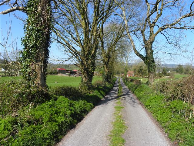 Enclosure in KillarahEnclosure · 1164 yd
 Bellaheady MountainMountain / peak · 1347 yd
 Killarah ForestForest · 1.2 mi
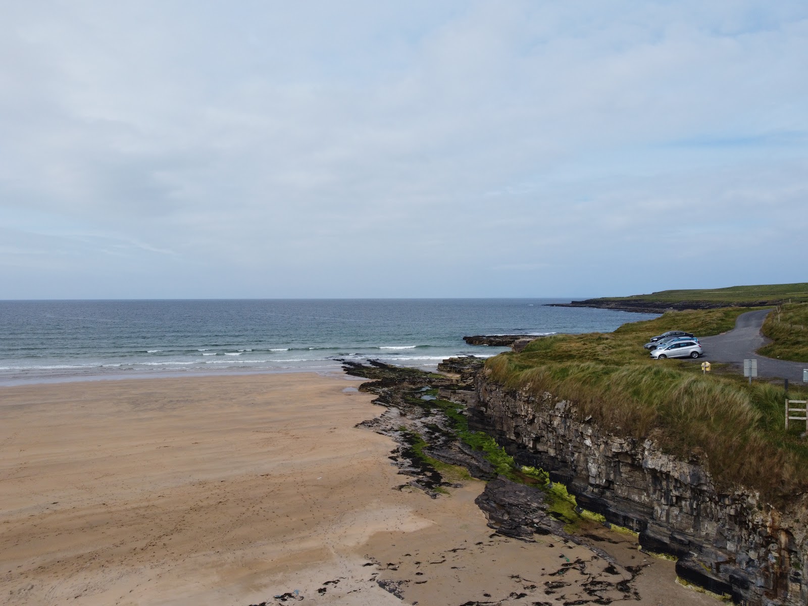 Carrowmore Lecharrownahone ForestForest · 1.2 mi
 Church in MullynagolmanChurch · 1.3 mi
 Killycluggin StoneVisitor information · 1.4 mi
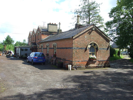 station master's house, railway stationstation master's house, railway station · 1.5 mi
 Bilberry HillMountain / peak · 1.7 mi
 LissanoverCastle, unclassified · 1.8 mi
 Kieran Doherty TD Cavan Monaghan MemorialMonument · 1.8 mi
 Saint Mogue's IslandIslet · 3.0 mi