What is recorded here
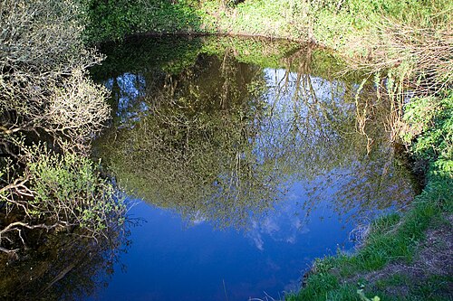
Fairy fort in Corleckagh Lower is a raised circular area thirty-two point eight metres across, enclosed by a low earthen bank and a partly waterlogged inner ditch. The original entrance has disappeared beneath soil and time. In County Cavan such rings were called raths, and people lived inside them before the name changed. The fort keeps its shape though it no longer shows where its door stood.
Raised circular area (int. diam. 32.8m) enclosed by a low earthen bank with low, partly waterlogged internal fosse. Original entrance not recognisable.
The above description is derived from the published 'Archaeological Inventory of County Cavan' (Dublin: Stationery Office, 1995). In certain instances the entries have been revised and updated in the light of recent research.
Date of upload/revision: 22 December 2008
The monument record does not grant public access. Check the route and ask the landowner before entering private land.
- What survives
- Recorded monument
Places near here
 Sweat Ho.Sweathouse · 1284 yd
 Corratober UpperMountain / peak · 1297 yd
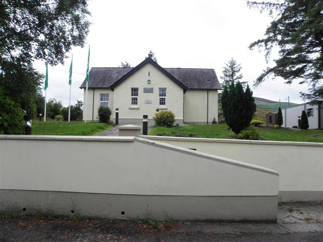 CurraghvahMountain / peak · 1613 yd
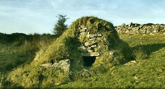 Sweathouse in GowlatSweathouse · 1651 yd
 PlaygroudCliff · 1.8 mi
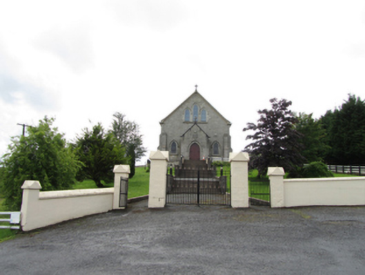 Church of the Immaculate Conceptionchurch/chapel · 1.9 mi
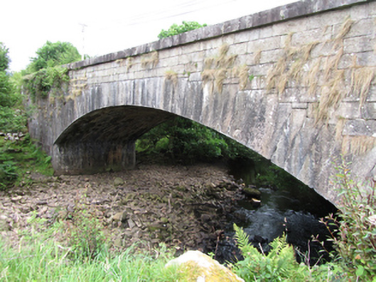 bridgebridge · 2.1 mi
 TobermurrySpring · 2.3 mi
 CarrignahastaCliff · 2.3 mi
 Corrard ForestForest · 2.4 mi
 Shannon PotSpring · 2.4 mi
 Legnashinna CavernCave · 2.4 mi