What is recorded here
Fairy fort in Corglancey, County Leitrim: an oval earthwork 26 by 21 metres on a drumlin slope, now bisected by a field bank and planted with conifers. Its shallow scarp, lack of entrance and forest setting suggest it has resisted easy reading for generations. People may have lived there, marked it, or abandoned it before memory faded; the land kept its shape while witness left.
Located towards the bottom of the NW-facing slope of a drumlin in a coniferous forest. This is an oval area (dims 26m NE-SW; 21m NW-SE) defined by a scarp (max. H 0.5m). There is no visible fosse or identifiable original entrance and it bisected by a NW-SE field bank. The interior is planted with coniferous trees.
The above description is derived from 'The Archaeological Inventory of County Leitrim' compiled by Michael J. Moore (Dublin: Stationery Office, 2003). In certain instances the entries have been revised and updated in the light of recent research.
Date of upload: 23 September 2008
The monument record does not grant public access. Check the route and ask the landowner before entering private land.
- What survives
- Recorded monument
Places near here
 No indicatedFairy fort / earthen ringfort · 766 yd
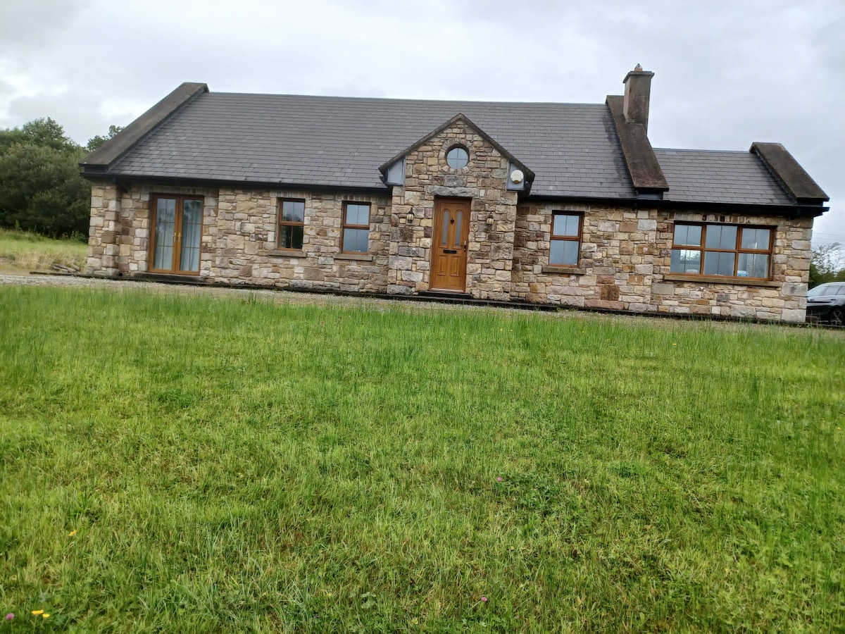 Embanked enclosureFairy fort / earthen ringfort · 1187 yd
 St. Michaels ChurchChurch · 1580 yd
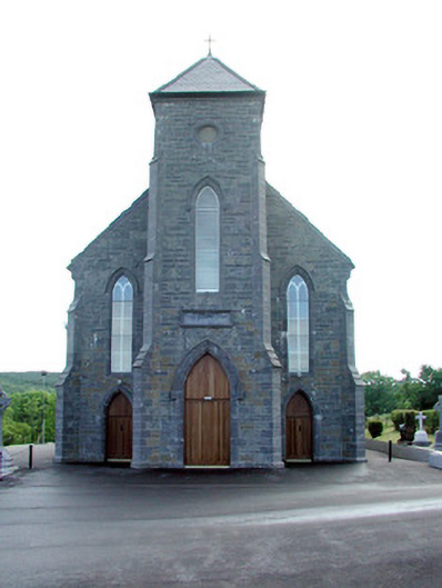 Saint Mary's Catholic Churchchurch/chapel · 1.1 mi
 Old HallCastle, hall-house · 2.3 mi
 MoteCastle, motte · 2.9 mi
 Green IslandIslet · 3.7 mi
 Cullentra ForestForest · 4.1 mi
 Trawane BayBay · 4.6 mi
 Carrane HillCliff · 4.6 mi
 InnisfreeIslet · 4.7 mi
 SlishwoodWood · 4.8 mi