What is recorded here
Fairy fort in Cordevlis sits atop a small drumlin ridge, its oval grassy interior measuring thirty-two and a half metres. An overgrown earthen bank still marks the south-eastern edge, rising two and a half metres above the ground, though ploughing or time has taken the rest. No entrance remains visible, only a hidden boundary where human hands shaped the earth before forgetting how to leave it behind.
Situated on top of a small NW-SE drumlin ridge. This is an oval grass-covered area (dims 32.5m NNW-SSE; c. 25m ENE-WSW) defined by an overgrown earthen bank SE-W (at SW: Wth c. 4m; int. H 1.1m; ext. H 2.5m) that has been largely removed elsewhere. There is no visible fosse or entrance.
The above description is derived from the published 'Archaeological Inventory of County Monaghan' (Dublin: Stationery Office, 1986). In certain instances the entries have been revised and updated in the light of recent research.
Revised by: Michael Moore
Date of revision: 22 June 2018
The monument record does not grant public access. Check the route and ask the landowner before entering private land.
- What survives
- Recorded monument
Places near here
 Man-made underground passage in RauskerMan-made underground passage · 565 yd
 Giants GraveWedge tomb · 1248 yd
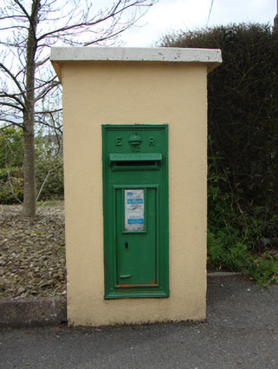 post boxpost box · 1.4 mi
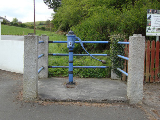 water pumpwater pump · 1.4 mi
 Fort HillWood · 1.6 mi
 Laragh WoodForest · 2.4 mi
 The CrescentMemorial · 4.3 mi
 Battle of ClontibretBattlefield · 4.6 mi
 John Francis GreenMemorial · 4.6 mi
 Bawn in OnomyBawn · 5.0 mi
 Blaney CastleCastle · 5.0 mi
 Monaghan WayWalking route · 5.6 mi