What is recorded here
Fairy fort in Corderry (peyton) is a grass-covered earthen ringfort on the E-facing slope of a small drumlin in County Leitrim, Ireland. Its slight bank and faint outer ditch still mark a subcircular space about twenty metres across, preserved unplanted among trees while another rath waits one hundred and fifty metres to the west. People may have lived there, feared there, or simply passed it by; the earth keeps the shape either way.
Located towards the top of the E-facing slope of a small drumlin. This is a grass-covered subcircular area (int. dims 23m E-W; 20m N-S) defined by a slight bank (Wth 2.4m; int. H 0.15m; ext. H 0.25m) and an intermittently visible external fosse (Wth 2m). The original entrance is not identified. It remains unplanted in a forest (Bing 2013). Rath (LE028-044----) is c. 150m to the W.
The above description is derived from 'The Archaeological Inventory of County Leitrim' compiled by Michael J. Moore (Dublin: Stationery Office, 2003). In certain instances the entries have been revised and updated in the light of recent research.
Date of upload: 23 September 2008
The monument record does not grant public access. Check the route and ask the landowner before entering private land.
- What survives
- Recorded monument
Places near here
 FortsFairy fort / ringfort · 1331 yd
 Sheebeg CairnArchaeological place · 1.0 mi
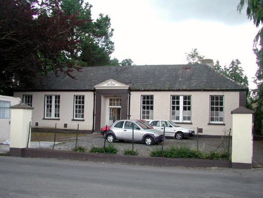 Keshcarrigan Vocational Schoolcollege · 1.2 mi
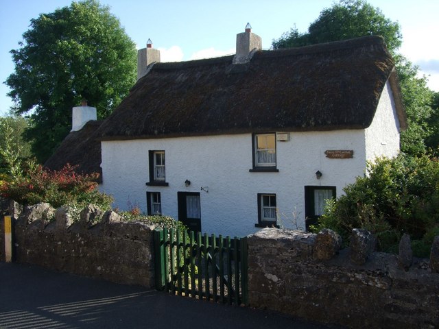 Fionn McCumhail Cottagehouse · 1.3 mi
 Castle JohnCastle · 1.8 mi
 Whiskey IslandIslet · 1.9 mi
 Otter IslandIsland · 1.9 mi
 Sheemore Ambush MemorialMonument · 2.6 mi
 CastleforeCastle, tower house · 2.7 mi
 Leabaidh DermotCave · 3.0 mi
 Shannon-Erne WaterwayVisitor information · 4.8 mi
 Declaration of IndependenceMemorial · 5.5 mi