What is recorded here
No visible trace remains at Coor West, though local memory still shapes the hidden fort into a fairy abode. That is not evasion, but evidence of how often these places disappeared from human use while continuing to occupy the imagination. The field may have stopped producing food, the road may have stopped carrying trade, or the building may have stopped giving shelter. The idea survived because the contrast remained sharp enough to remember.
The Archaeological Survey of Ireland (ASI) is in the process of providing information on all monuments on The Historic Environment Viewer (HEV). Currently the information for this record has not been uploaded. To access available information for research purposes please make an appointment in advance with the Archive Unit (open Fridays 10.00 am – 5.00 pm), Department of Housing, Local Government and Heritage, The Custom House, Dublin 1 D01W6XO or email NMarchive@housing.gov.ie.
The monument record does not grant public access. Check the route and ask the landowner before entering private land.
- What survives
- Recorded monument
Places near here
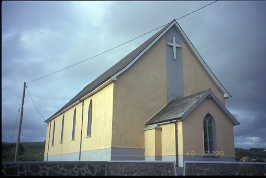 Catholic Church of the Most Holy Redeemerchurch/chapel · 606 yd
 Doonogan Castle (Site of)Castle, tower house · 1069 yd
 Doonogan Fort 1922)Fairy fort / earthen ringfort · 1.2 mi
 Enclosure in KnockanalbanEnclosure · 1.3 mi
 Knockanalban Castle (Site of)Castle, unclassified · 1.3 mi
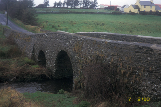 Aghy Bridgebridge · 1.4 mi
 Kilcorcoran Grave YardArchaeological place · 3.5 mi
 SlievecallanMountain / peak · 3.7 mi
 The Music Makers of West ClareMuseum · 3.9 mi
 Spanish Point BeachBeach / strand · 4.2 mi
 Emlagh PointHeadland · 4.8 mi
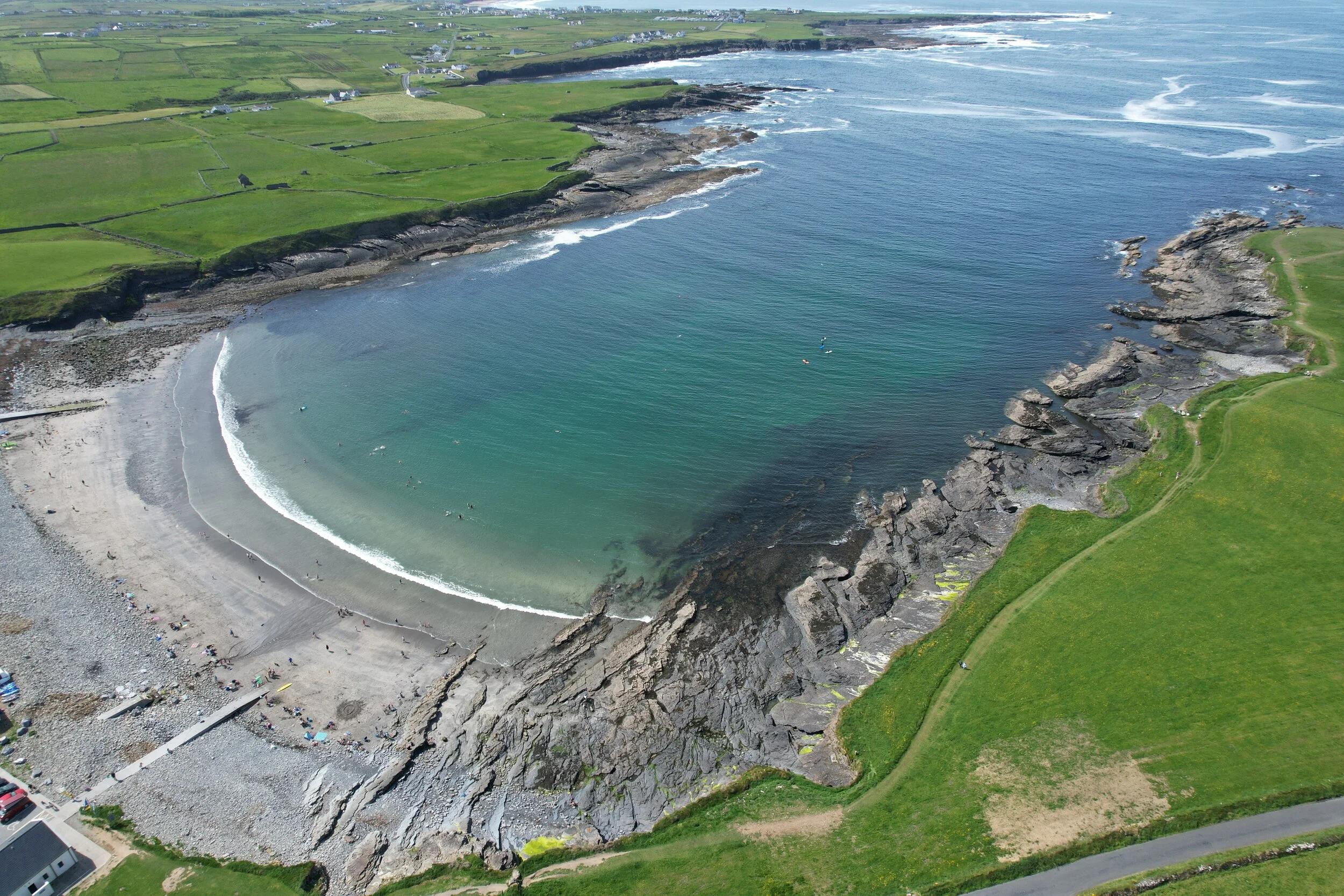 White StrandBeach / strand · 5.3 mi