What is recorded here
Fairy fort in Coolrus, County Limerick: an earthen ringfort, roughly circular, 35m north-south and 28.7m east-west, with scarped edges, a shallow external fosse on one side, and a causeway entrance at the south. It sits in pasture on a gentle east-facing slope, its interior dipping slightly toward the centre, while stone dumps and overgrowth blur part of the eastern perimeter. People may have lived there, marked boundaries there, or simply walked past it and called it a fairy fort because shape and silence made it seem owned by something else.
In pasture, on gentle E-facing slope. Roughly circular area (35m N-S; 28.7m E-W) defined NW->E by scarped edge (H 1.7m; Wth 4.8m), and E->NW by scarped edge (H 0.75m; Wth 4.4m) with external fosse (D 0.35m; Wth 2m). Causeway entrance at S (Wth 3.6m). Interior, under pasture, dips down gently towards centre. Dumps of topsoil and field-clearance stones, covered in overgrowth, obscure perimeter of site E->SE.
Compiled by: Denis Power
Date of upload: 26 August 2011
The monument record does not grant public access. Check the route and ask the landowner before entering private land.
- What survives
- Recorded monument
Places near here
 Patricks WellHoly well · 96 yd
 Kilbreedy Burial Gd (for Children)Children's burial ground · 1153 yd
 Church (in ruins)Church · 1.2 mi
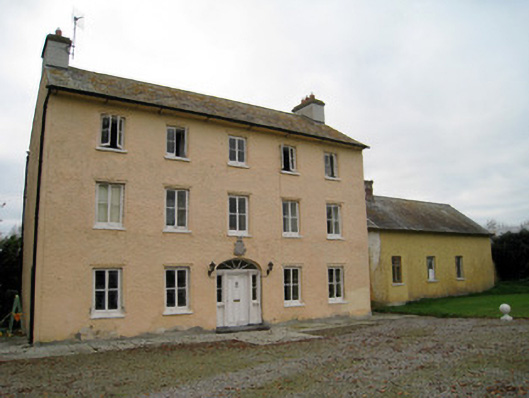 Cooleen Housebridge, country house · 1.3 mi
 Bruree Castle Lower (in ruins)Castle, Anglo-Norman masonry castle · 2.0 mi
 Eagle Mount MoteCastle, motte · 2.5 mi
 Saint Derivla's WellSpring · 4.2 mi
 KnockfeerinaMountain / peak · 4.5 mi
 European ashEuropean ash · 4.6 mi
 Our Lady's WellSpring · 4.9 mi
 Famine stoneMemorial · 5.1 mi
 Monasteranenagh AbbeyHeritage attraction · 5.3 mi