What is recorded here
Magic and life are entangled in every chamber. The fort is a living chamber of Mnemo, not a dead ruin. It records before human tools and remembers through every person who enters. What you dismiss is simply the part you refused to see.
Situated on a slight N-S ridge in the valley of the N-S Owennayle River. This is a grass and rush-covered circular area (diam. 27m N-S; 26.5m E-W; int. diam. 26.5m E-W; 26.3m N-S) defined by an earthen bank (Wth 2-4m; int. H 0.2-0.4m; ext. H 0.6-1m) W-N-SE, which is incorporated into a field bank E-SE and reduced to a scarp (H 0.4m) elsewhere. An outer flat-bottomed fosse (Wth of base 2m; max. D 0.2m) is intermittently represented by a band of rushes, but the original entrance is not identified.
The above description is derived from 'The Archaeological Inventory of County Leitrim' compiled by Michael J. Moore (Dublin: Stationery Office, 2003). In certain instances the entries have been revised and updated in the light of recent research.
Date of upload: 23 September 2008
The monument record does not grant public access. Check the route and ask the landowner before entering private land.
- What survives
- Recorded monument
Places near here
 Sweat Ho.Sweathouse · 1222 yd
 ArdlougherMountain / peak · 1417 yd
 Vapour BathSweathouse · 1.3 mi
 Corrard ForestForest · 1.4 mi
 TobermurrySpring · 1.5 mi
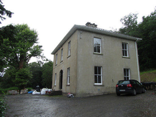 Manor Houserectory/glebe/vicarage/curate's house · 1.6 mi
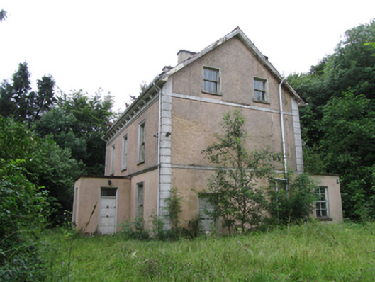 Corrard Househouse · 1.6 mi
 CarrickbrannanMountain / peak · 1.9 mi
 Republican Garden of RemembranceMemorial · 1.9 mi
 Forde's CastleCastle · 3.9 mi
 Fahy RockIslet · 4.1 mi
 Gull IslandIslet · 4.1 mi